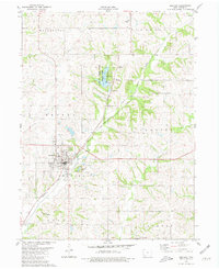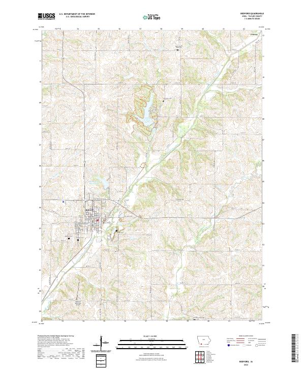
1943 Map of Bedford
USGS Topo · Published 1943About this map
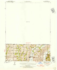
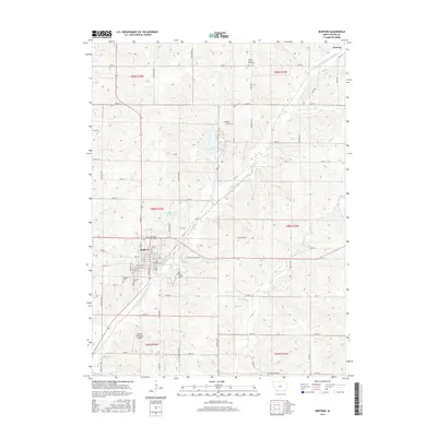
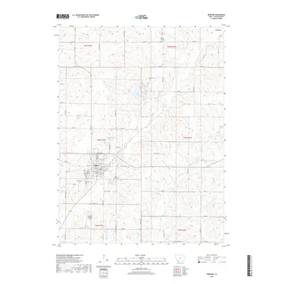
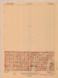
Sheridan stands as a focal point in the rolling borderlands during the early 1940s, situated near the intersection of the Chicago Great Western railroad and the Platte River. This survey, conducted in cooperation with the State of Missouri Geological Survey and Water Resources, reveals a densely settled rural landscape defined by township organization in Union and Independence. The map is particularly rich in educational and religious history, documenting numerous country schoolhouses like Luteston Sch and Rissen Sch, alongside landmark churches such as Mission Ridge Ch. While the southern portion is intricately detailed with watercourses like Honey Creek and Fox Branch, a large northern section remains designated as an Unsurveyed Area, creating a stark visual contrast between the developed agricultural grid and the unmapped territory across the Iowa-Missouri border.
Find a feature on this map
31 named features on this map. Tap any name to fly to it.
Don’t see what you’re looking for? This feature index may not catch every label — zoom into the map to look around manually.
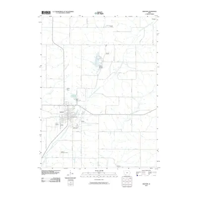
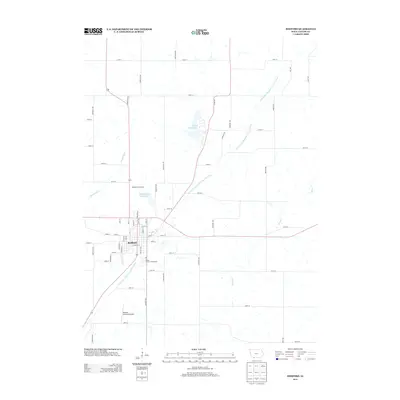
Map Details
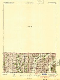
Editions of this 1943 Bedford Map
2 editions found
Historical Maps of Bedford Through Time
8 maps found