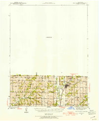
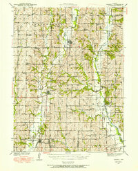
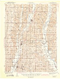
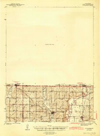
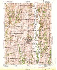
1940 Map of New Market
USGS Topo · Published 1954About this map
Hopkins sits at the junction of the Chicago Burlington and Quincy railroad and several river forks in this 1940 survey of the borderlands between Taylor County, Iowa, and Nodaway County, Missouri. The landscape is defined by the complex drainage of the Hundred and Two River and its West, Middle, and East Forks, which converge near the state line. This rural economy is heavily documented through a dense network of one-room schoolhouses and country churches that served the agricultural community during the pre-war era.
Find a feature on this map
39 named features on this map. Tap any name to fly to it.
Don’t see what you’re looking for? This feature index may not catch every label — zoom into the map to look around manually.
Map Details
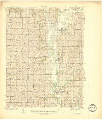
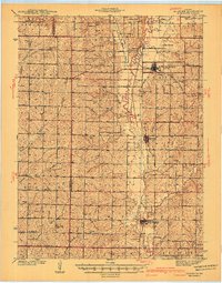
Editions of this 1940 New Market Map
This is the sole edition of this map. No revisions or reprints were ever made.
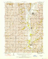
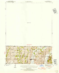
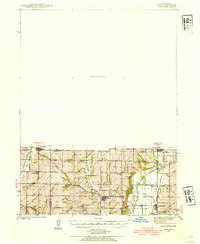
Other maps of this area
1939 · Skidmore
USGS Topo · 1:62,500
1940 · Bedford
USGS Topo · 1:62,500
1940 · Coin
USGS Topo · 1:62,500
1940 · Parnell
USGS Topo · 1:62,500
1941 · Skidmore
USGS Topo · 1:62,500
1942 · Skidmore
USGS Topo · 1:62,500
1943 · Bedford
USGS Topo · 1:62,500
1943 · Parnell
USGS Topo · 1:62,500
1943 · Coin
USGS Topo · 1:62,500
1943 · Maryville
USGS Topo · 1:62,500