
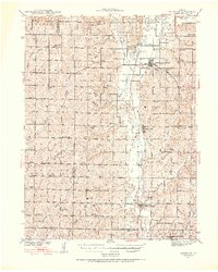
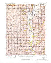
1939 Map of Skidmore
USGS Topo · Published 1939About this map
The Nodaway River valley dominates this Northwest Missouri landscape as it appeared following surveys in 1924 and 1939. This era shows a densely organized rural society, where the grid of sections is punctuated by a remarkable concentration of country schools such as Hedge College Sch and Little Brick Sch. The transportation network is anchored by the Chicago Burlington and Quincy and the Atchison Topeka and Santa Fe Railway, which supported the growth of market towns like Burlington Junction and Skidmore. Beyond the larger settlements, local centers of faith and memory like St Oswald Ch and Burr Oak Cem provide essential data points for genealogists. The map also captures several family-named landmarks and smaller hamlets, including Dawsonville and Possum Walk, which illustrate the peak of the region's agricultural settlement pattern before the mid-century shifts in rural population.
Find a feature on this map
64 named features on this map. Tap any name to fly to it.
Don’t see what you’re looking for? This feature index may not catch every label — zoom into the map to look around manually.
Map Details
Editions of this 1939 Skidmore Map
3 editions found
Other maps of this area

1920 · Craig
USGS Topo · 1:62,500

1926 · Maitland
USGS Topo · 1:62,500

1927 · Bolckow
USGS Topo · 1:62,500

1939 · Tarkio
USGS Topo · 1:62,500

1939 · Farragut
USGS Topo · 1:62,500

1940 · Tarkio
USGS Topo · 1:62,500

1940 · Farragut
USGS Topo · 1:62,500

1940 · Coin
USGS Topo · 1:62,500

1940 · New Market
USGS Topo · 1:62,500

1941 · Tarkio
USGS Topo · 1:62,500