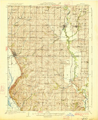
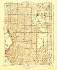
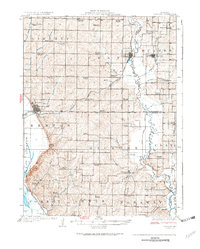
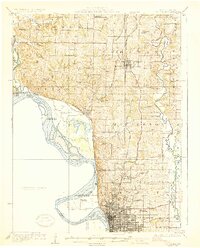
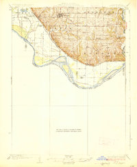
1926 Map of Maitland
USGS Topo · Published 1926About this map
Maitland and Mound City anchor this Northwest Missouri landscape during the mid-1920s, a period defined by a dense network of rural schoolhouses and the winding course of the Nodaway River. The terrain is marked by the transition from the upland ridges of Whig Valley to the fertile bottomlands of the Squaw Creek Ditch, reflecting an era of intensive land drainage and agricultural expansion. Regional transport was dominated by the Chicago Burlington and Quincy RR, which skirts the western bluffs, while the Chicago Quincy and Kansas City RR provides vital links through the center of the quadrangle.
Find a feature on this map
62 named features on this map. Tap any name to fly to it.
Don’t see what you’re looking for? This feature index may not catch every label — zoom into the map to look around manually.
Map Details
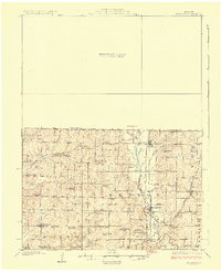
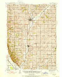
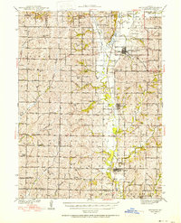
Editions of this 1926 Maitland Map
3 editions found
Other maps of this area

1885 · Atchison
USGS Topo · 1:125,000

1888 · Atchison
USGS Topo · 1:125,000

1893 · Atchison
USGS Topo · 1:125,000

1920 · Craig
USGS Topo · 1:62,500

1924 · St. Joseph
USGS Topo · 1:62,500
1926 · Saint Joseph
USGS Topo · 1:62,500
1926 · Oregon
USGS Topo · 1:62,500
1927 · Bolckow
USGS Topo · 1:62,500
1939 · Tarkio
USGS Topo · 1:62,500
1939 · Skidmore
USGS Topo · 1:62,500