
1926 Map of Oregon
USGS Topo · Published 1926About this map
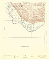
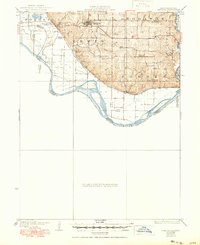
Oregon serves as a prominent ridge-top settlement in Holt County, overlooking the complex floodplain of the Missouri River as it appeared in the mid-1920s. This survey, supported by the Missouri Bureau of Geology and Mines, details a transition from the dissected uplands of Lewis and Nodaway townships down to the river bottoms. The landscape is heavily marked by early drainage engineering, notably the Squaw Creek Ditch and the Mill Creek Burlington Ditch, which sought to reclaim the fertile but flood-prone land near Forest City.
Find a feature on this map
34 named features on this map. Tap any name to fly to it.
Don’t see what you’re looking for? This feature index may not catch every label — zoom into the map to look around manually.
Map Details
Editions of this 1926 Oregon Map
3 editions found
Other maps of this area

1885 · Atchison
USGS Topo · 1:125,000

1888 · Atchison
USGS Topo · 1:125,000

1893 · Atchison
USGS Topo · 1:125,000

1920 · Craig
USGS Topo · 1:62,500

1924 · St. Joseph
USGS Topo · 1:62,500

1926 · Atchison
USGS Topo · 1:62,500

1926 · Saint Joseph
USGS Topo · 1:62,500

1926 · Maitland
USGS Topo · 1:62,500

1927 · Dearborn
USGS Topo · 1:62,500

1927 · Bolckow
USGS Topo · 1:62,500