
1920 Map of Craig
USGS Topo · Published 1920About this map
The Missouri River carves a complex, braided path through this 1920 edition survey, defining the border between Nebraska and Missouri. The river plain is a dense network of agricultural townships like Benton and Bigelow, characterized by a remarkably high concentration of rural schoolhouses such as Brush College School, Lonesome School, and Exodus School. These landmarks reflect the decentralized social structure of the early 20th-century Missouri River bottoms, where small settlements like Rulo and Craig served as vital hubs.
Find a feature on this map
53 named features on this map. Tap any name to fly to it.
Don’t see what you’re looking for? This feature index may not catch every label — zoom into the map to look around manually.
Map Details
Editions of this 1920 Craig Map
5 editions found
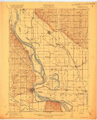
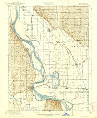
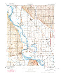
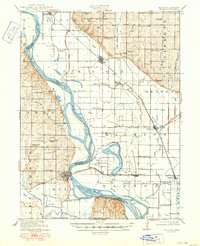
Other maps of this area

1885 · Atchison
USGS Topo · 1:125,000

1888 · Atchison
USGS Topo · 1:125,000

1888 · Hiawatha
USGS Topo · 1:125,000

1893 · Atchison
USGS Topo · 1:125,000

1894 · Hiawatha
USGS Topo · 1:125,000

1915 · Falls City
USGS Topo · 1:62,500

1915 · Nemaha
USGS Topo · 1:62,500

1926 · Oregon
USGS Topo · 1:62,500

1926 · Maitland
USGS Topo · 1:62,500

1936 · Fairfax
USGS Topo · 1:24,000