
Historical Maps of Holt County, Nebraska
What stories do these 121 old maps tell about Holt County's past? From 1950 to present day, these maps reveal the evolution of streets, neighborhoods, iconic landmarks, and natural features in stunning high-res detail. Whether you're a history enthusiast, genealogist, or professional in education, environmental work, or architecture, these maps are perfect for exploration, research, and discovery.
Discover Holt County's history through maps:
- Trace Holt County's growth: Explore earlier and latest maps and editions to uncover how the region changed over time.
- Examine technical details: Each map includes its creators, publishers, scale, dimensions, and full source information.
- Layer maps with modern tools & imagery: Compare historical maps to modern-day with high-resolution satellite imagery and detailed LiDAR layers.
- Sourced from trusted archives: Carefully preserved and digitized by institutions like the United Stated Geological Survey and the US Library of Congress.
- Access in any format: View and explore in high resolution, download for offline use, or order a museum-quality print for yourself or a loved one.
Begin your journey into Holt County's history with these remarkable must-see maps.
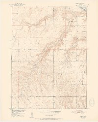
Holt County, NE maps
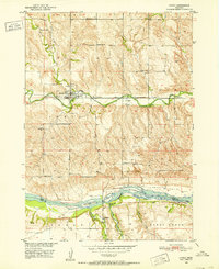
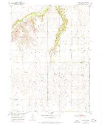
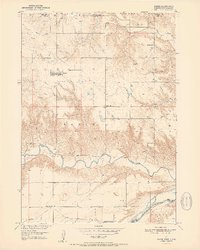
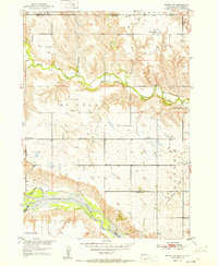
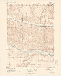
(121)- 1950 Map of Mariaville
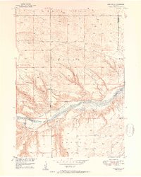 1950 Mariaville1950 Print · USGSCovers Holt County, including Mariaville, Boyd County, and other nearby areas
 - 1950 Map of Mariaville
 1950 Mariaville1950 Print · USGSCovers Holt County, including Mariaville, Boyd County, and other nearby areas
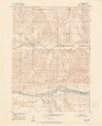
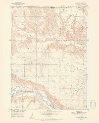
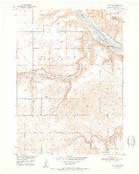
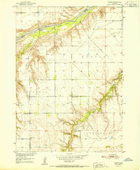
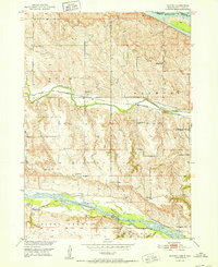
 - 1950 Map of Dorsey NW, 1952 Print
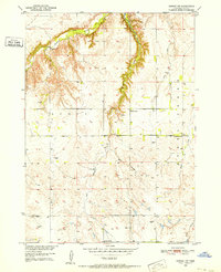 1950 Dorsey NW1952 Print · USGSCovers Holt County, including United States, Nebraska, and other nearby areas
 - 1950 Map of Dorsey NW, 1952 Print
 1950 Dorsey NW1952 Print · USGSCovers Holt County, including United States, Nebraska, and other nearby areas
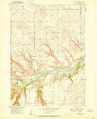
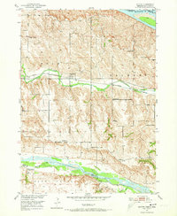
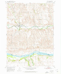
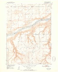
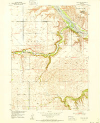
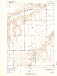
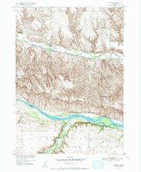
 - 1950 Map of Lynch, 1952 Print
 1950 Lynch1952 Print · USGSCovers Holt County, including Lynch, Redbird, and other nearby areas
 - 1950 Map of Lynch, 1952 Print
 1950 Lynch1952 Print · USGSCovers Holt County, including Lynch, Redbird, and other nearby areas
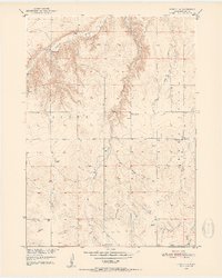
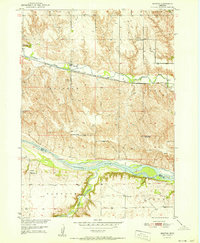
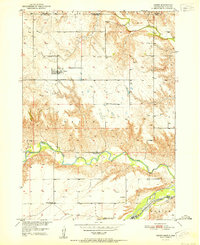
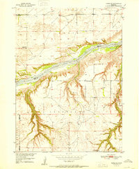
 - 1950 Map of Monowi, 1973 Print
 1950 Monowi1973 Print · USGSCovers Holt County, including Monowi, Ree Township, and other nearby areas
 - 1950 Map of Lynch, 1976 Print
 1950 Lynch1976 Print · USGSCovers Holt County, including Lynch, Redbird, and other nearby areas
 - 1950 Map of Dorsey NW, 1977 Print
 1950 Dorsey NW1977 Print · USGSCovers Holt County, including United States, Nebraska, and other nearby areas
 - 1951 Map of Butte NW
 1951 Butte NW1951 Print · USGSCovers Holt County, including Boyd County, Gregory County, and other nearby areas
 - 1951 Map of Naper SW
 1951 Naper SW1951 Print · USGSCovers Holt County, including Boyd County, Rock County, and other nearby areas
 - 1951 Map of Bristow
 1951 Bristow1951 Print · USGSCovers Holt County, including Paddock, Bristow, and other nearby areas
 - 1951 Map of Naper
 1951 Naper1951 Print · USGSCovers Holt County, including Naper, Boyd County, and other nearby areas
 - 1951 Map of Butte SW
 1951 Butte SW1951 Print · USGSCovers Holt County, including Boyd County, United States, and other nearby areas
 - 1951 Map of Naper
 1951 Naper1951 Print · USGSCovers Holt County, including Naper, Boyd County, and other nearby areas
 - 1951 Map of Butte SW
 1951 Butte SW1951 Print · USGSCovers Holt County, including Boyd County, United States, and other nearby areas
 - 1951 Map of Butte NW
 1951 Butte NW1951 Print · USGSCovers Holt County, including Boyd County, Gregory County, and other nearby areas
 - 1951 Map of Dustin
 1951 Dustin1951 Print · USGSCovers Holt County, including Dustin, Boyd County, and other nearby areas
 - 1951 Map of Dustin
 1951 Dustin1951 Print · USGSCovers Holt County, including Dustin, Boyd County, and other nearby areas
 - 1951 Map of Naper SW
 1951 Naper SW1951 Print · USGSCovers Holt County, including Boyd County, Rock County, and other nearby areas
 - 1951 Map of Bristow
 1951 Bristow1951 Print · USGSCovers Holt County, including Paddock, Bristow, and other nearby areas
 - 1951 Map of Bristow
 1951 Bristow1951 Print · USGSCovers Holt County, including Paddock, Bristow, and other nearby areas
 - 1952 Map of Butte SE
 1952 Butte SE1952 Print · USGSCovers Holt County, including Catalpa, Boyd County, and other nearby areas
 - 1952 Map of Monowi
 1952 Monowi1952 Print · USGSCovers Holt County, including Monowi, Ree Township, and other nearby areas
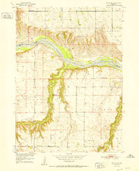
 - 1952 Map of Dorsey
 1952 Dorsey1952 Print · USGSCovers Holt County, including Knoxville, Dorsey, and other nearby areas
Showing maps 1-25 of 121
Top cities in Holt County
- O'Neill historical maps
- Atkinson historical maps
- Stuart historical maps
- Ewing historical maps
- Chambers historical maps
- Page historical maps
See more
Frequently asked questions
- What are the different types of historical maps available for Holt County?
- What is the oldest map of Holt County?
- Where can I purchase historical maps of Holt County for my home or office?
- Where can I download high-res historical maps of Holt County?
- Are there historical topographic maps available for Holt County?
- Is there historical aerial imagery available for Holt County?
- Where are historical maps of Holt County sourced from?