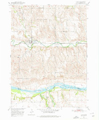
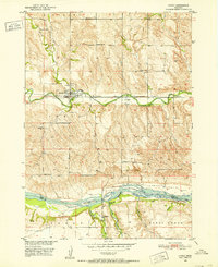
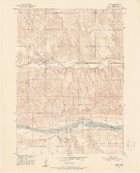
1950 Map of Lynch
USGS Topo · Published 1976About this map
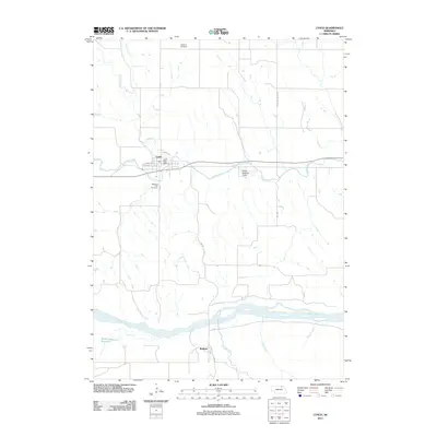
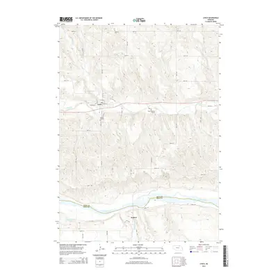
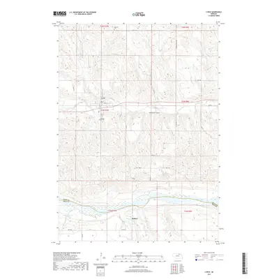
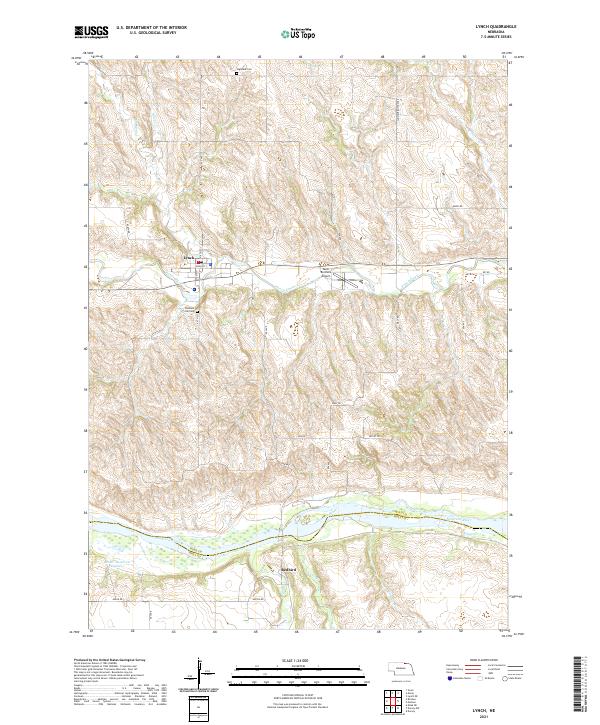
Lynch serves as the primary hub of this northern Nebraska landscape, situated where the Chicago and North Western rail line parallels the winding path of Ponca Creek. The 1950 survey reveals a rural economy organized around a network of one-room schoolhouses, including School No 56, School No 63, School No 39, and School No 64, reflecting the township-based educational system of the mid-20th century. To the south, the Niobrara River marks the border between Boyd and Holt Counties, joined by tributaries like Redbird Creek near the small settlement of Redbird. For local history and genealogy, the map identifies specific community landmarks such as Highland Cem, Pleasant Hill Cem, and the small landing strip at Woolf Airport, providing a clear look at the area's infrastructure before major modern shifts in rail and rural school consolidation.
Find a feature on this map
27 named features on this map. Tap any name to fly to it.
Don’t see what you’re looking for? This feature index may not catch every label — zoom into the map to look around manually.
Map Details
Editions of this 1950 Lynch Map
3 editions found
Historical Maps of Lynch Through Time
5 maps found