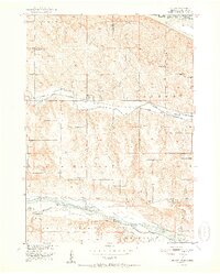
1950 Map of Monowi
USGS Topo · Published 1973About this map
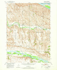
The Missouri River and Niobrara River define this corner of the Nebraska-South Dakota border as it was surveyed at mid-century. The Chicago and North Western railway runs through the center of the sheet, serving the small settlement of Monowi along Ponca Creek. This map reveals a landscape heavily dotted with rural education and burial sites, including the Beulah Cem and Alford Cem, alongside numerous numbered and named schoolhouses such as Masdon Sch and Pleasant Hill Sch. The terrain is segmented by township and county lines, including the borders of Boyd, Knox, and Holt counties. The density of small school districts, from School No 42 to the Verdel Sch, indicates a period when the rural population was still broadly distributed across the high plains of the Bush and Raymond regions.
Find a feature on this map
25 named features on this map. Tap any name to fly to it.
Don’t see what you’re looking for? This feature index may not catch every label — zoom into the map to look around manually.
Map Details
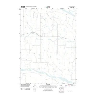
Editions of this 1950 Monowi Map
This is the sole edition of this map. No revisions or reprints were ever made.
Historical Maps of Monowi Through Time
6 maps found