
1950 Map of Verdel
USGS Topo · Published 1952About this map
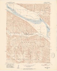
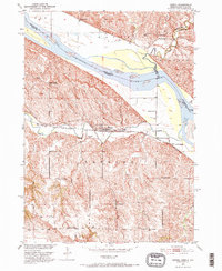
Verdel sits at the heart of this Missouri River basin landscape, serving as a transit point where the Chicago and North Western railway skirts the southern bluffs. The map captures a detailed rural network of the early 1950s, defined by numerous one-room schoolhouses like Clay Hill Sch and Cameron Sch that served the agricultural community. An Indian Boundary cuts across the northern section, marking a historical division near the winding Choteau Creek. To the north, the Missouri River forms the state line between South Dakota and Nebraska, with the confluence of Ponca Creek shaping the local topography. This survey provides a clear view of the area before modern infrastructure changes, documenting individual landmarks such as the Cedar Hill Cem and a solitary Windmill on the flats near the railroad tracks.
Find a feature on this map
26 named features on this map. Tap any name to fly to it.
Don’t see what you’re looking for? This feature index may not catch every label — zoom into the map to look around manually.
Map Details
Editions of this 1950 Verdel Map
4 editions found

Other maps of this area

1950 · Niobrara
USGS Topo · 1:24,000

1950 · Verdigre NE
USGS Topo · 1:24,000

1950 · Pishelville
USGS Topo · 1:24,000

1950 · Monowi
USGS Topo · 1:24,000

1952 · Monowi
USGS Topo · 1:24,000

1952 · Dorsey
USGS Topo · 1:24,000

1955 · O'Neill
USGS Topo · 1:250,000

1959 · O'Neill
USGS Topo · 1:250,000

1964 · Lynch NE
USGS Topo · 1:24,000

1969 · O'Neill
USGS Topo · 1:250,000