
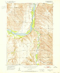
1950 Map of Verdigre NE
USGS Topo · Published 1952About this map
The Niobrara River carves a wide path through this Nebraska landscape, flanked by the sprawling townships of Raymond, Bohemia, and Sparta. In the mid-century, the area remained deeply rural, defined by a dense network of country schools like Pleasant Hill Sch and School No 6. The settlement of Ponca serves as a local hub near St Johns Cem, while the Chicago and North Western railroad follows the course of Verdigre Creek through the eastern valleys. This survey, part of the Missouri River Basin development program, captures the intersection of conservation and infrastructure at Mormon Canal State Park. For genealogists, the map preserves the locations of three distinct burial grounds, including the L'Eau Qui Court Cem and the White Mountain Lodge Cem near the southern hills.
Find a feature on this map
22 named features on this map. Tap any name to fly to it.
Don’t see what you’re looking for? This feature index may not catch every label — zoom into the map to look around manually.
Map Details
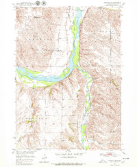
Editions of this 1950 Verdigre NE Map
3 editions found
Other maps of this area

1950 · Niobrara
USGS Topo · 1:24,000

1950 · Verdel
USGS Topo · 1:24,000

1950 · Pishelville
USGS Topo · 1:24,000

1954 · Walnut
USGS Topo · 1:24,000

1954 · Verdigre
USGS Topo · 1:24,000

1955 · Sioux City
USGS Topo · 1:250,000

1955 · O'Neill
USGS Topo · 1:250,000

1958 · Sioux City
USGS Topo · 1:250,000

1959 · O'Neill
USGS Topo · 1:250,000

1959 · Sioux City
USGS Topo · 1:250,000