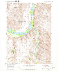
1950 Map of Verdigre NE
USGS Topo · Published 1979About this map
The Niobrara River carves a wide valley through the Nebraska landscape, serving as the dominant geographic anchor for this mid-century survey. Along its northern banks, the community of Niobrara sits near the confluence with Verdigre Creek, a region shaped by both its river-bound economy and the presence of the Chicago and North Western railroad. The map reveals a dense network of rural infrastructure, particularly the numerous local schoolhouses such as Pleasant Hill Sch, Ponca Sch, and School No 51 that once anchored these prairie townships.
Find a feature on this map
21 named features on this map. Tap any name to fly to it.
Don’t see what you’re looking for? This feature index may not catch every label — zoom into the map to look around manually.
Map Details
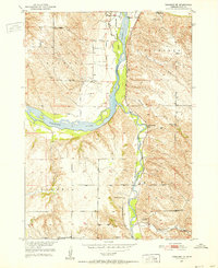
Editions of this 1950 Verdigre NE Map
3 editions found
Other maps of this area

1950 · Niobrara
USGS Topo · 1:24,000

1950 · Verdel
USGS Topo · 1:24,000

1950 · Verdigre NE
USGS Topo · 1:24,000

1950 · Pishelville
USGS Topo · 1:24,000

1954 · Walnut
USGS Topo · 1:24,000

1954 · Verdigre
USGS Topo · 1:24,000

1955 · Sioux City
USGS Topo · 1:250,000

1955 · O'Neill
USGS Topo · 1:250,000

1958 · Sioux City
USGS Topo · 1:250,000

1959 · O'Neill
USGS Topo · 1:250,000