
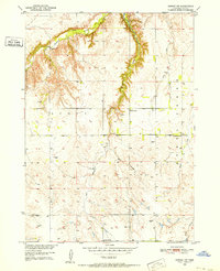
1950 Map of Dorsey NW
USGS Topo · Published 1952About this map
The rolling hills of Scott township in Holt County, Nebraska, are defined by a network of drainage systems feeding into the Missouri River Basin. This mid-century survey reveals a rural landscape organized by the section lines of the Public Land Survey System, where agriculture and livestock rearing were supported by numerous windmills scattered across the uplands. The distribution of small district schoolhouses, including School No 63, School No 32, School No 100, and School No 93, illustrates the decentralized nature of Nebraska's early educational system before widespread consolidation. Waterways such as Redbird Creek, Steel Creek, and the East Branch of local streams provide the primary relief in the terrain, while the presence of a Gravel Pit indicates local mineral extraction for road building during this era of development.
Find a feature on this map
13 named features on this map. Tap any name to fly to it.
Don’t see what you’re looking for? This feature index may not catch every label — zoom into the map to look around manually.
Map Details
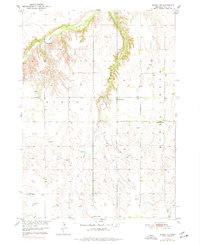
Editions of this 1950 Dorsey NW Map
3 editions found
Other maps of this area

1950 · Lynch
USGS Topo · 1:24,000

1950 · Monowi
USGS Topo · 1:24,000

1951 · Bristow
USGS Topo · 1:24,000

1952 · Monowi
USGS Topo · 1:24,000

1952 · Dorsey
USGS Topo · 1:24,000

1954 · Dorsey SW
USGS Topo · 1:24,000

1954 · Meek NE
USGS Topo · 1:24,000

1954 · Opportunity
USGS Topo · 1:24,000

1954 · Star
USGS Topo · 1:24,000

1955 · O'Neill
USGS Topo · 1:250,000