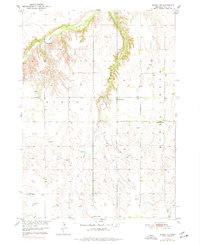
1950 Map of Dorsey NW
USGS Topo · Published 1977About this map
Redbird Creek and its sharp, winding valley define the northern landscape of this Holt County region at mid-century. This 1950 survey, conducted as part of the Department of the Interior program for the development of the Missouri River Basin, reveals a rural economy dependent on well-spaced infrastructure. The area is dotted with numbered rural schoolhouses, including School No 63 near the creek's edge and School No 93 to the south, marking the social centers for local ranching and farming families. The complex drainage network of Louse Creek, Squaw Creek, and Sand Creek segments the prairie, where numerous windmills signify the essential role of groundwater in this Nebraska landscape. A small Gravel Pit near the West Branch suggests the localized extraction of materials for early road maintenance.
Find a feature on this map
15 named features on this map. Tap any name to fly to it.
Don’t see what you’re looking for? This feature index may not catch every label — zoom into the map to look around manually.
Map Details
Editions of this 1950 Dorsey NW Map
3 editions found
Other maps of this area

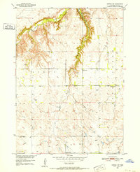
1950 · Dorsey NW
USGS Topo · 1:24,000

1950 · Lynch
USGS Topo · 1:24,000

1950 · Monowi
USGS Topo · 1:24,000

1951 · Bristow
USGS Topo · 1:24,000

1952 · Monowi
USGS Topo · 1:24,000

1952 · Dorsey
USGS Topo · 1:24,000

1954 · Dorsey SW
USGS Topo · 1:24,000

1954 · Meek NE
USGS Topo · 1:24,000

1954 · Opportunity
USGS Topo · 1:24,000

1954 · Star
USGS Topo · 1:24,000