
1951 Map of Bristow
USGS Topo · Published 1951About this map
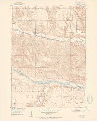
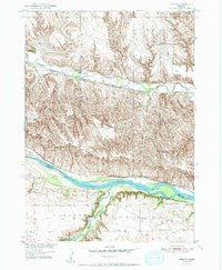
The Niobrara River defines the southern boundary of this Nebraska landscape, where the Boyd Co Holt Co line crosses the water. Parallel to the river, Ponca Creek carves a winding path through the northern half of the map, supporting the settlement of Bristow. The region is marked by a high density of rural schoolhouses, including School No 31, School No 57, and the noted School No 34 (Abandoned), illustrating the era's decentralized education system. Transportation is anchored by the Chicago and North Western railroad line, which follows the creek valley through town. Further south, the tiny community of Paddock sits near the confluence of Eagle Creek and the Niobrara. Genealogists will find interest in localized burial sites such as Mission Cem and Bristow Cem, which remain as fixed points in the shifting agricultural townships of Morton and Lynch.
Find a feature on this map
22 named features on this map. Tap any name to fly to it.
Don’t see what you’re looking for? This feature index may not catch every label — zoom into the map to look around manually.
Map Details
Editions of this 1951 Bristow Map
3 editions found
Other maps of this area

1950 · Dorsey NW
USGS Topo · 1:24,000

1950 · Lynch
USGS Topo · 1:24,000

1952 · Spencer South
USGS Topo · 1:24,000

1954 · Meek NE
USGS Topo · 1:24,000

1954 · Meek
USGS Topo · 1:24,000

1955 · O'Neill
USGS Topo · 1:250,000

1959 · O'Neill
USGS Topo · 1:250,000

1964 · Gross
USGS Topo · 1:24,000
1964 · Spencer North
USGS Topo · 1:24,000
1964 · Marty
USGS Topo · 1:24,000