Loading...
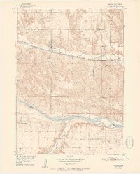
Loading map...1951 Map of Bristow
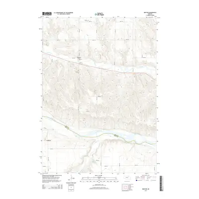
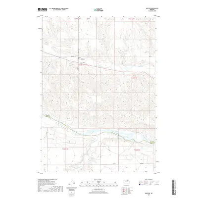
USGS Topo · Published 1951About this map
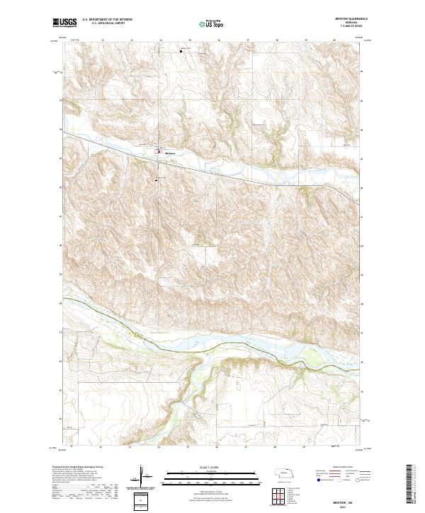
Bristow sits at the heart of this mid-century landscape in Boyd County, where the iron rails of the Chicago and North Western corridor run parallel to the winding path of Ponca Creek. This 1951 survey captures the rural infrastructure of northern Nebraska before the consolidation of rural districts, featuring a dense network of one-room schoolhouses such as School No 31, School No 72, and School No 57. Notably, the map records School No 34 as already being out of use by the time of the field check.
Find a feature on this map
23 named features on this map. Tap any name to fly to it.
Don’t see what you’re looking for? This feature index may not catch every label — zoom into the map to look around manually.
Map Details
Date Portrayed1951
Date Published1951
PublisherU.S. Geological Survey
Map TypeTopographic
Scale1:24,000
Physical Dimensions21.9 x 27.26 inches
Editions of this 1951 Bristow Map
3 editions found
Historical Maps of Paddock Through Time
5 maps found
Featured Locations
Source Details
SourceU.S. Geological Survey
CopyrightPublic Domain