Old Maps of Chambers, Nebraska
Explore 15 old maps of Chambers, spanning from 1955 to today. These high-resolution historic maps reveal how streets, neighborhoods, landmarks, and natural features evolved over time — perfect for genealogy, metal detecting, research, and local history exploration.
What you can do with these maps:
- See how Chambers changed over time: Compare historical maps to modern-day views to trace roads, homesites, rail lines & more.
- View detailed metadata: Each map includes creators, publishers, year, scale, and archive source.
- Overlay maps with satellite & LiDAR: Visualize the past alongside modern tools to explore terrain & human change.
- Trusted historical sources: Maps sourced from the USGS, Library of Congress, and other archives.
- Access maps your way: View online, download high-res files, or order prints for personal or research use.
Start exploring old maps of Chambers to uncover forgotten places, hidden landmarks, and the deep history beneath your feet.
Chambers, NE maps
(15)- 1955 Map of O'Neill, 1974 Print
 1955 O'Neill1974 Print · USGSNorth-central Nebraska in the 1950s reveals a vast cattle-ranching landscape transitioning from the Missouri River breaks to the iconic Sand Hills. Researchers can trace the path of the Chicago and North Western rail line and locate rural landmarks like the Dustin Post Office and St Johns Lake Ch.2 unique versions available
 - 1959 Map of O'Neill
 1959 O'Neill1959 Print · USGSNorth-central Nebraska in the late fifties is defined by the vast Sand Hills and the vital Chicago and North Western rail line. Genealogists and researchers can trace family roots through settlements like Atkinson, Bassett, and Stuart or follow the waters of the Niobrara River.2 unique versions available
 - 1969 Map of O'Neill
 1969 O'Neill1969 Print · USGSCentral Nebraska in the mid-fifties is defined here by the expansive Sand Hills and the winding Niobrara River. Trace the Chicago and North Western rail line through cattle towns like O'Neill and Ainsworth.
 - 1981 Map of Chambers East
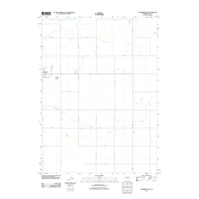
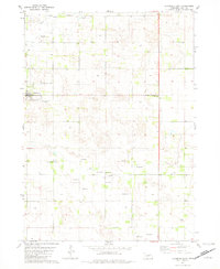 1981 Chambers East1981 Print · USGSHolt County's rural landscape is captured here in the early 1980s, centered on the community of Chambers. Genealogists and local historians can trace the town's layout near Perkins Memorial Park and locate dozens of specific Flowing Wells across the prairie.2 unique versions available
 - 1981 Map of Chambers West, 1982 Print
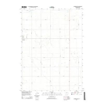
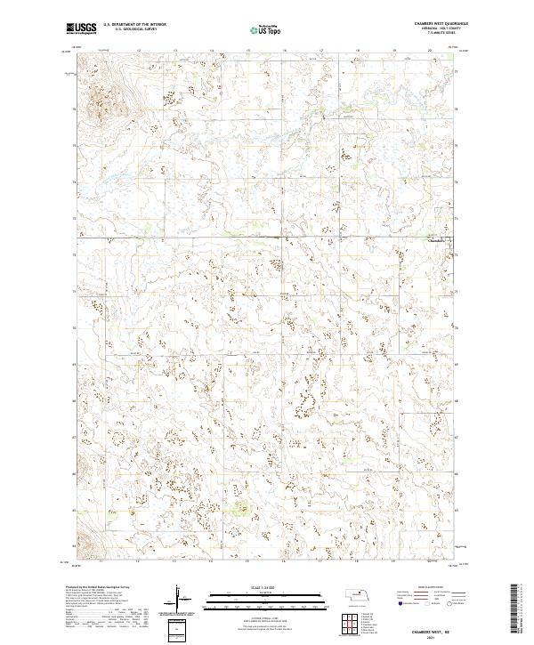
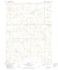 1981 Chambers West1982 Print · USGSHolt County ranching country comes into focus in the early eighties, centered on the village of Chambers. Genealogists and historians can trace local landmarks like the Fairground, the rural Cem, and the numerous Flowing Wells dotting the South Fork Elkhorn River valley.2 unique versions available
 - 1985 Map of O'Neill
 1985 O'Neill1985 Print · USGSThe Elkhorn River valley and its surrounding plains are captured in the mid-1980s, showing a landscape defined by rail lines and ranching hubs. Genealogists and local historians can trace the rail networks of the Chicago and North Western and find smaller locales like Knievels Corner, Amelia, and Venus.2 unique versions available
 - 1989 Map of O'Neill
 1989 O'Neill1989 Print · USGSThe Nebraska-South Dakota borderlands are captured here in the late eighties, documenting the ranching and rail infrastructure of the High Plains. Genealogists and collectors can trace historic prairie towns like Monowi, Pishelville, and Santee along the Niobrara River.
 - 2011 Map of Chambers West, 2011 Print
 2011 Chambers West2011 Print · USGSCovers Chambers, including Holt County, United States, and other nearby areas
 - 2011 Map of Chambers East, 2011 Print
 2011 Chambers East2011 Print · USGSCovers Chambers, including Holt County, United States, and other nearby areas
 - 2014 Map of Chambers East, 2014 Print
 2014 Chambers East2014 Print · USGSCovers Chambers, including Holt County, United States, and other nearby areas
 - 2014 Map of Chambers West, 2014 Print
 2014 Chambers West2014 Print · USGSCovers Chambers, including Holt County, United States, and other nearby areas
 - 2017 Map of Chambers East, 2017 Print
 2017 Chambers East2017 Print · USGSCovers Chambers, including Holt County, United States, and other nearby areas
 - 2017 Map of Chambers West, 2017 Print
 2017 Chambers West2017 Print · USGSCovers Chambers, including Holt County, United States, and other nearby areas
 - 2021 Map of Chambers East, 2021 Print
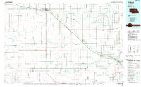
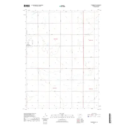
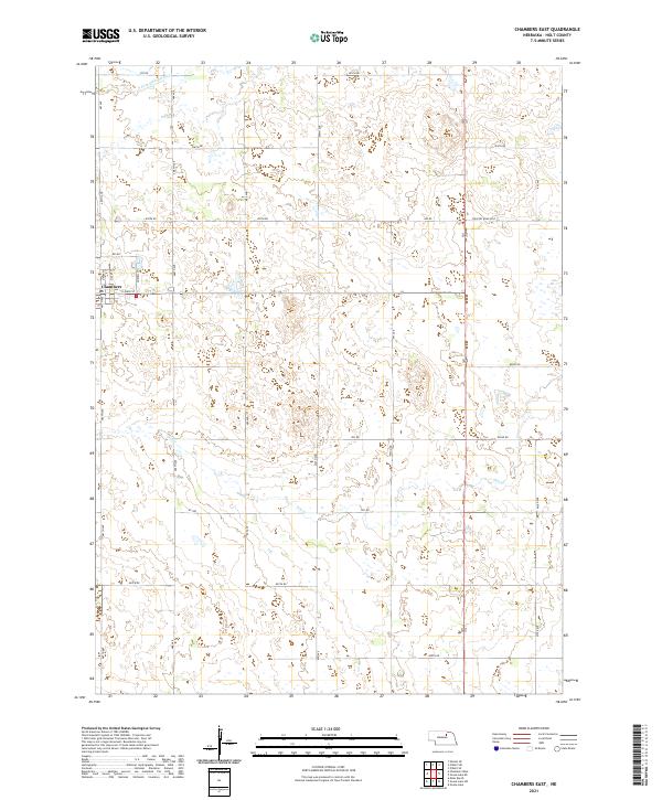 2021 Chambers East2021 Print · USGSHolt County ranching country is shown here in the early twenty-first century as the village of Chambers meets the Sandhills. Researchers can trace the section-line roads and watercourses of the S Fork Elkhorn River and Dry Cr through the plains.
 - 2021 Map of Chambers West, 2021 Print
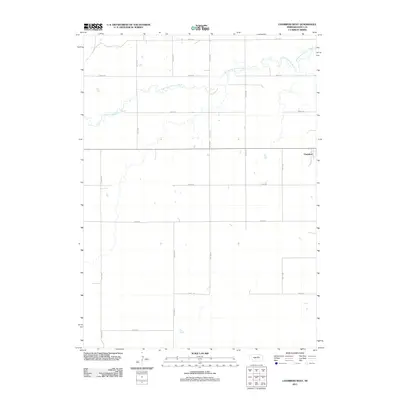
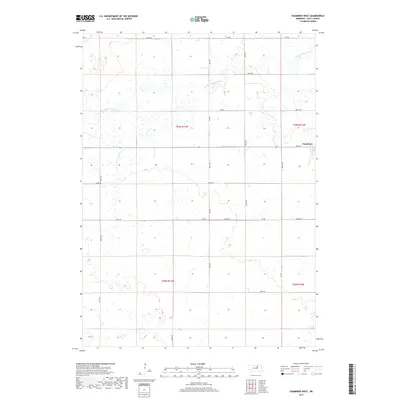
 2021 Chambers West2021 Print · USGSHolt County ranching country is captured here in the early twenty-first century as the local road grid organizes the Nebraska landscape. Researchers can trace property locations along the S Fork Elkhorn River or locate the western edge of Chambers at Main St.
End of results
Showing maps 1-15 of 15
Top cities near Chambers
Frequently asked questions
- What are the different types of historical maps available for Chambers?
- What is the oldest map of Chambers?
- Where can I purchase historical maps of Chambers for my home or office?
- Where can I download high-res historical maps of Chambers?
- Are there historical topographic maps available for Chambers?
- Is there historical aerial imagery available for Chambers?
- Where are historical maps of Chambers sourced from?