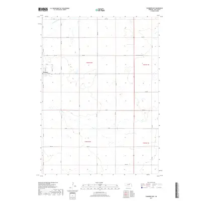
2017 Map of Chambers East
USGS Topo · Published 2017About this map
Chambers occupies the western edge of this Holt County landscape, situated at the intersection of E Main St and N Dyke St. The surrounding countryside is defined by the gentle drainage patterns of the S Fork Elkhorn River in the north and the meandering path of Dry Cr as it moves through the southern sections. This territory is strictly organized by a dense grid of section-line roads, including 859th Rd and 850th Rd, reflecting the enduring impact of the Public Land Survey System on Nebraska's agricultural layout. Local landmarks like Norvell St and Country Road 2260 provide specific reference points for those tracing property boundaries or family homesteads in this portion of the Great Plains.
Find a feature on this map
34 named features on this map. Tap any name to fly to it.
Don’t see what you’re looking for? This feature index may not catch every label — zoom into the map to look around manually.
Map Details
Editions of this 2017 Chambers East Map
This is the sole edition of this map. No revisions or reprints were ever made.
Other maps of this area

1955 · O'Neill
USGS Topo · 1:250,000

1959 · O'Neill
USGS Topo · 1:250,000

1964 · O'Neill SE
USGS Topo · 1:24,000

1964 · Emmet SE
USGS Topo · 1:24,000

1964 · O'Neill SW
USGS Topo · 1:24,000

1969 · O'Neill
USGS Topo · 1:250,000

1981 · Goose Lake SW
USGS Topo · 1:24,000

1981 · Chambers East
USGS Topo · 1:24,000
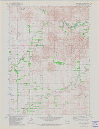
1981 · Goose Lake NE
USGS Topo · 1:24,000
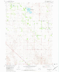
1981 · Goose Lake
USGS Topo · 1:24,000