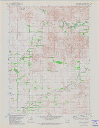
1981 Map of Goose Lake NE
USGS Topo · Published 1981About this map
The South Fork Elkhorn River meanders across the northern portion of this Nebraska landscape, defining a terrain shaped by water and sparse settlement in the early 1980s. Local history is anchored by the Bethany Ch and the nearby Trussel Cem, which serve as vital landmarks for genealogists tracing family ties in Holt County. The map reveals an intricate network of waterways, including Dry Creek and Cache Creek, alongside numerous Flowing Well sites that indicate the importance of groundwater for local agriculture and ranching. Small-scale industrial activity is evidenced by the Claypits located near the riverbank. This map captures the region's character just as modern land-use patterns were solidifying, showing the clear division between township boundaries like T 26 N and T 25 N and the natural flow of the prairie creeks.
Find a feature on this map
9 named features on this map. Tap any name to fly to it.
Don’t see what you’re looking for? This feature index may not catch every label — zoom into the map to look around manually.
Map Details
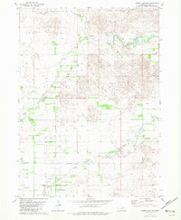
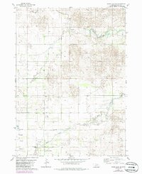
Editions of this 1981 Goose Lake NE Map
3 editions found
Other maps of this area

1955 · O'Neill
USGS Topo · 1:250,000

1959 · O'Neill
USGS Topo · 1:250,000

1963 · Ewing SW
USGS Topo · 1:24,000

1963 · Deloit SW
USGS Topo · 1:24,000

1963 · Deloit NW
USGS Topo · 1:24,000

1964 · O'Neill SE
USGS Topo · 1:24,000

1964 · O'Neill SW
USGS Topo · 1:24,000

1969 · O'Neill
USGS Topo · 1:250,000

1981 · Goose Lake SW
USGS Topo · 1:24,000

1981 · Chambers East
USGS Topo · 1:24,000