
1981 Map of Goose Lake SW
USGS Topo · Published 1981About this map
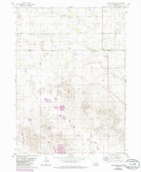
Buffalo Flats dominates the southern landscape of this 1981 survey, where the low-lying terrain of the Sandhills region meets a network of groundwater resources. The map captures the remote character of the Holt and Wheeler county line, defined by a sparse arrangement of ranching infrastructure and hydrological features. Numerous artesian sources, labeled as Flowing Well or Flowing Wells, are scattered across the quadrangle, particularly near the channel of Cache Creek.
Find a feature on this map
8 named features on this map. Tap any name to fly to it.
Don’t see what you’re looking for? This feature index may not catch every label — zoom into the map to look around manually.
Map Details
Editions of this 1981 Goose Lake SW Map
2 editions found
Other maps of this area

1954 · Bartlett NW
USGS Topo · 1:24,000

1954 · Bartlett
USGS Topo · 1:24,000

1954 · Gables
USGS Topo · 1:24,000

1955 · Broken Bow
USGS Topo · 1:250,000

1955 · O'Neill
USGS Topo · 1:250,000

1956 · Broken Bow
USGS Topo · 1:250,000

1959 · O'Neill
USGS Topo · 1:250,000

1969 · O'Neill
USGS Topo · 1:250,000

1981 · Chambers East
USGS Topo · 1:24,000
1981 · Goose Lake NE
USGS Topo · 1:24,000