
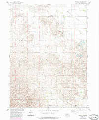
1954 Map of Bartlett NW
USGS Topo · Published 1956About this map
The vast, open landscapes of the Nebraska Sandhills are meticulously documented in this mid-century survey. Located within the Missouri River Basin development area, the terrain is characterized by the expansive Buffalo Flats and the rolling topography of the Buffalo and Bartlett regions. This 1954 field check provides a rare view of the isolated infrastructure required for ranching in such a porous environment, punctuated by numerous Windmill sites that provided the only reliable water sources for livestock.
Find a feature on this map
7 named features on this map. Tap any name to fly to it.
Don’t see what you’re looking for? This feature index may not catch every label — zoom into the map to look around manually.
Map Details
Editions of this 1954 Bartlett NW Map
2 editions found
Other maps of this area

1954 · Gables SE
USGS Topo · 1:24,000

1954 · Bartlett SE
USGS Topo · 1:24,000

1954 · Bartlett
USGS Topo · 1:24,000

1954 · Ericson
USGS Topo · 1:24,000

1954 · Gables
USGS Topo · 1:24,000

1955 · Broken Bow
USGS Topo · 1:250,000

1955 · O'Neill
USGS Topo · 1:250,000

1956 · Broken Bow
USGS Topo · 1:250,000

1959 · O'Neill
USGS Topo · 1:250,000

1969 · O'Neill
USGS Topo · 1:250,000