
1954 Map of Gables
USGS Topo · Published 1958About this map
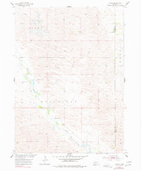
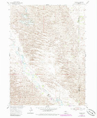
Cedar Creek meanders through the heart of this Garfield County landscape, providing a vital water source for the remote ranching and farming operations established here by the mid-1950s. The small settlement of Gables serves as a central point of reference in an area otherwise defined by sections of the Erina, Roosevelt, and Buffalo townships. The presence of School No 30 and School No 9 indicates the distributed nature of the rural community, where local education was organized around these small schoolhouse sites. Numerous Windmill sites are scattered across the terrain, highlighting the reliance on groundwater for livestock and domestic use in this part of the Missouri River Basin. The boundary line for Garfield Co Wheeler Co marks the eastern edge of the survey, where the landscape transitions into the Ericson district.
Find a feature on this map
10 named features on this map. Tap any name to fly to it.
Don’t see what you’re looking for? This feature index may not catch every label — zoom into the map to look around manually.
Map Details
Editions of this 1954 Gables Map
3 editions found
Other maps of this area

1954 · Gables SE
USGS Topo · 1:24,000

1954 · Gables SW
USGS Topo · 1:24,000

1954 · Gables NW
USGS Topo · 1:24,000

1954 · Bartlett NW
USGS Topo · 1:24,000

1954 · Ericson
USGS Topo · 1:24,000

1955 · Broken Bow
USGS Topo · 1:250,000

1955 · O'Neill
USGS Topo · 1:250,000

1956 · Broken Bow
USGS Topo · 1:250,000

1959 · O'Neill
USGS Topo · 1:250,000

1969 · O'Neill
USGS Topo · 1:250,000