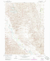
1954 Map of Gables
USGS Topo · Published 1985About this map
Gables appears as a focal point in this remote pocket of the Nebraska Sandhills, situated along the meandering course of Cedar Creek. Originally mapped in 1954 and updated with photorevisions in the early 1980s, the landscape is defined by its repetitive dune topography and the essential water management of the ranching economy. The intermittent nature of the waterways and the scattered Windmill sites across the terrain speak to the challenges of sustaining life and livestock in this environment. The map also delineates the boundary between Garfield Co and Wheeler Co, providing a clear record of jurisdictional lines within this sparsely populated grazing country.
Find a feature on this map
4 named features on this map. Tap any name to fly to it.
Don’t see what you’re looking for? This feature index may not catch every label — zoom into the map to look around manually.
Map Details
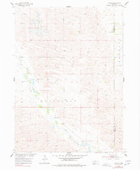
Editions of this 1954 Gables Map
3 editions found
Other maps of this area

1954 · Gables SE
USGS Topo · 1:24,000

1954 · Gables SW
USGS Topo · 1:24,000

1954 · Gables NW
USGS Topo · 1:24,000

1954 · Bartlett NW
USGS Topo · 1:24,000

1954 · Ericson
USGS Topo · 1:24,000

1954 · Gables
USGS Topo · 1:24,000

1955 · Broken Bow
USGS Topo · 1:250,000

1955 · O'Neill
USGS Topo · 1:250,000

1956 · Broken Bow
USGS Topo · 1:250,000

1959 · O'Neill
USGS Topo · 1:250,000