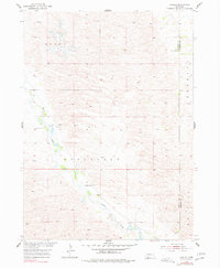
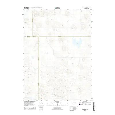
1954 Map of Gables
USGS Topo · Published 1978About this map
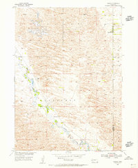
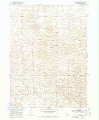
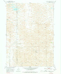
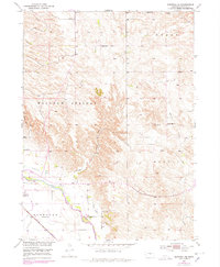
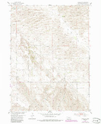
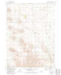
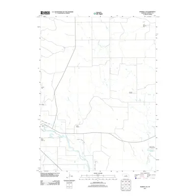
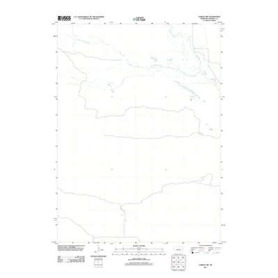
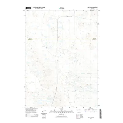
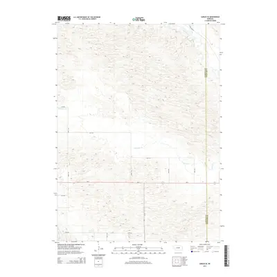
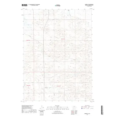
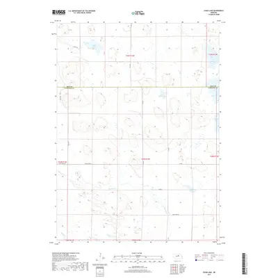
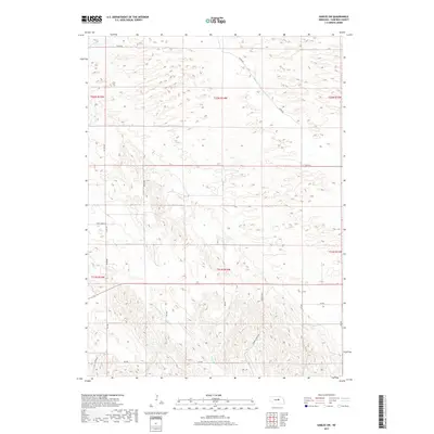
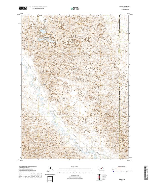
Cedar Creek meanders through the sandy, dune-inflected landscape of Garfield County in this mid-century survey of Nebraska’s interior. The small settlement of Gables serves as a lonely landmark in a region defined more by its terrain and political townships than by dense population centers. The map documents the rural educational infrastructure of the period, specifically noting School No 9 and School No 30 situated near the Garfield and Wheeler County line. These schools were essential hubs for families ranching across the townships of Roosevelt, Erina, Buffalo, and Ericson. A network of numerous windmills, such as the one labeled simply Windmill, reflects the critical reliance on groundwater to support life and livestock in this expansive Sandhills environment.
Find a feature on this map
10 named features on this map. Tap any name to fly to it.
Don’t see what you’re looking for? This feature index may not catch every label — zoom into the map to look around manually.
Map Details
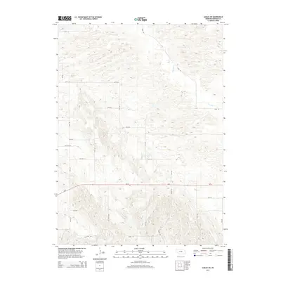
Editions of this 1954 Gables Map
3 editions found
Historical Maps of Gables Through Time
55 maps found
1952 Burwell NE
Garfield County, NE
1952 Burwell NW
Garfield County, NE
1952 Burwell SE
Garfield County, NE
1954 Gables
Garfield County, NE
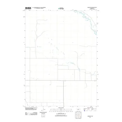
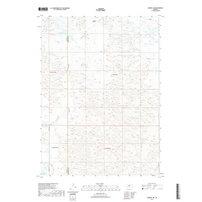
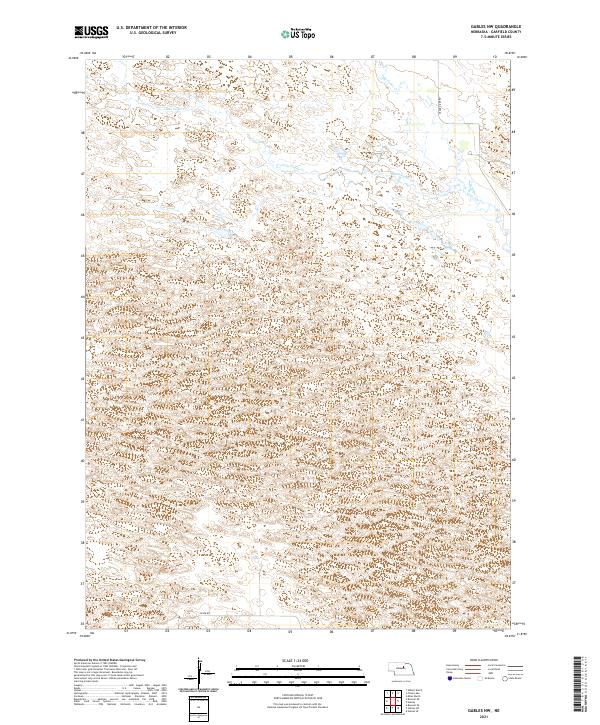
1954 Gables NW
Garfield County, NE
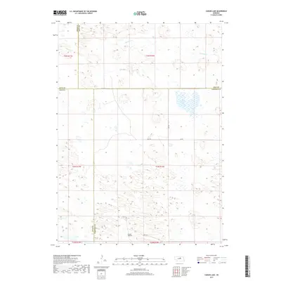
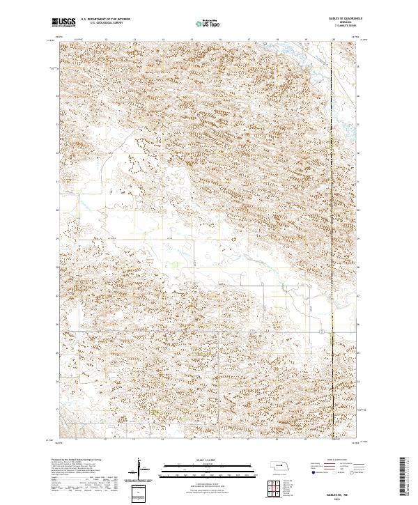
1954 Gables SE
Garfield County, NE
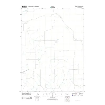
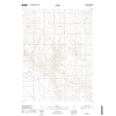
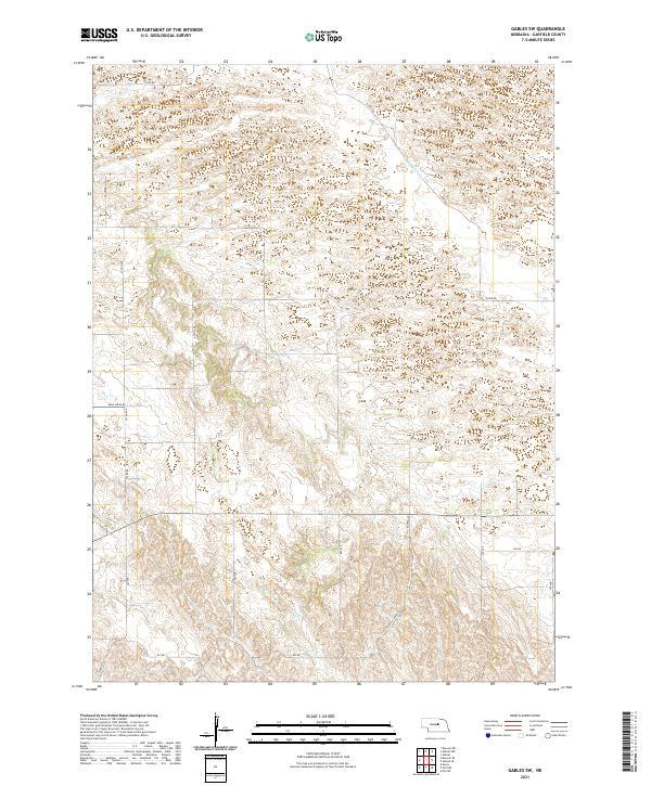
1954 Gables SW
Garfield County, NE
1981 Abbott Ranch
Garfield County, NE
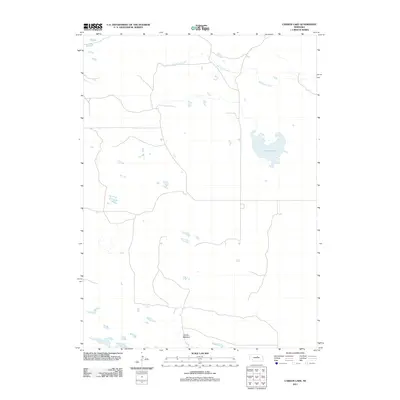
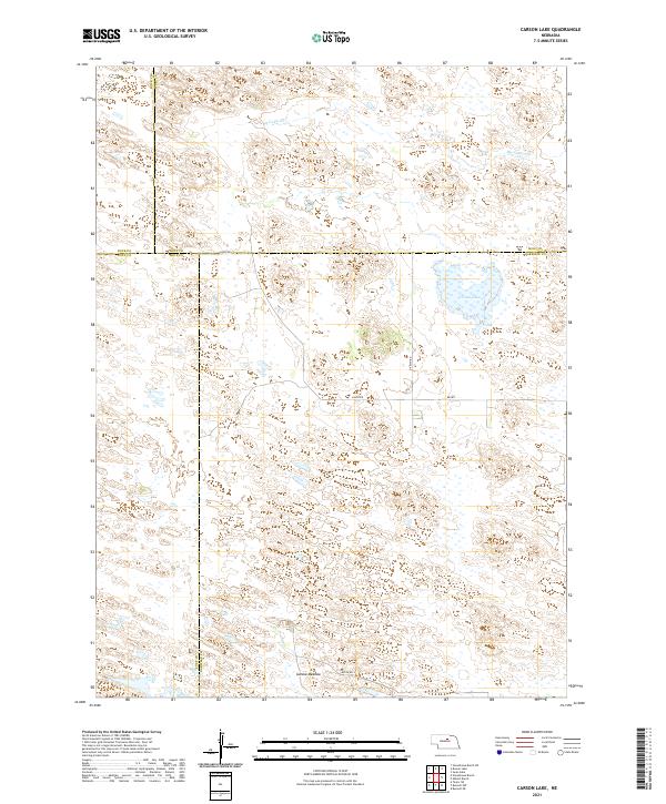
1981 Carson Lake
Garfield County, NE
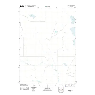
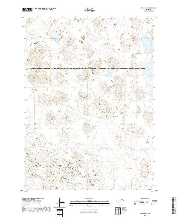
1981 Chain Lake
Garfield County, NE
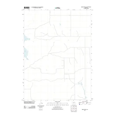
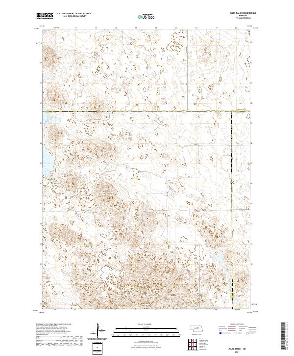
1981 Miles Ranch
Garfield County, NE
2011 Abbott Ranch
Garfield County, NE
2011 Burwell NE
Garfield County, NE
2011 Burwell NW
Garfield County, NE
2011 Burwell SE
Garfield County, NE
2011 Carson Lake
Garfield County, NE
2011 Chain Lake
Garfield County, NE
2011 Gables
Garfield County, NE
2011 Gables NW
Garfield County, NE
2011 Gables SE
Garfield County, NE
2011 Gables SW
Garfield County, NE
2011 Miles Ranch
Garfield County, NE
2014 Abbott Ranch
Garfield County, NE
2014 Burwell NE
Garfield County, NE
2014 Burwell NW
Garfield County, NE
2014 Burwell SE
Garfield County, NE
2014 Carson Lake
Garfield County, NE
2014 Chain Lake
Garfield County, NE
2014 Gables
Garfield County, NE
2014 Gables NW
Garfield County, NE
2014 Gables SE
Garfield County, NE
2014 Gables SW
Garfield County, NE
2014 Miles Ranch
Garfield County, NE
2017 Abbott Ranch
Garfield County, NE
2017 Burwell NE
Garfield County, NE
2017 Burwell NW
Garfield County, NE
2017 Burwell SE
Garfield County, NE
2017 Carson Lake
Garfield County, NE
2017 Chain Lake
Garfield County, NE
2017 Gables
Garfield County, NE
2017 Gables NW
Garfield County, NE
2017 Gables SE
Garfield County, NE
2017 Gables SW
Garfield County, NE
2017 Miles Ranch
Garfield County, NE
2021 Abbott Ranch
Garfield County, NE
2021 Burwell NE
Garfield County, NE
2021 Burwell NW
Garfield County, NE
2021 Burwell SE
Garfield County, NE
2021 Carson Lake
Garfield County, NE
2021 Chain Lake
Garfield County, NE
2021 Gables
Garfield County, NE
2021 Gables NW
Garfield County, NE
2021 Gables SE
Garfield County, NE
2021 Gables SW
Garfield County, NE
2021 Miles Ranch
Garfield County, NE