
1956 Map of Broken Bow
USGS Topo · Published 1956About this map
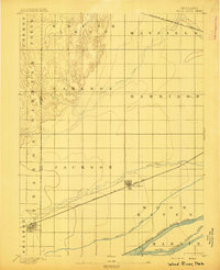
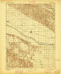
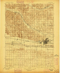
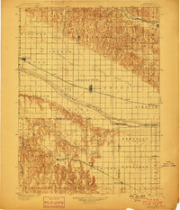
The Middle Loup River and its parallel drainage systems define the landscape of central Nebraska in the mid-1950s. This survey illustrates the intricate relationship between the sprawling Sand Hills to the north and the productive river valleys that supported a network of rail-oriented settlements. Small towns like Sargent, Burwell, and Ord served as local hubs along these waterways, while Broken Bow anchored the region's western edge. The transportation infrastructure is dominated by the Chicago Burlington and Quincy and Union Pacific railroads, which followed the natural contours of the river valleys to connect ranching and farming outposts. In the south, the Platte River corridor begins to show its influence, passing through Hall and Merrick Counties. Noteworthy landmarks include Horseshoe Bend Lake and the Laughran Bridge, marking the transition from the rugged sand dunes to the more established agricultural plains.
Find a feature on this map
120 named features on this map. Tap any name to fly to it.
Don’t see what you’re looking for? This feature index may not catch every label — zoom into the map to look around manually.
Map Details
Editions of this 1956 Broken Bow Map
This is the sole edition of this map. No revisions or reprints were ever made.
Other maps of this area

1892 · Grand Island
USGS Topo · 1:62,500

1895 · Grand Island
USGS Topo · 1:62,500
1895 · Wood River
USGS Topo · 1:62,500
1896 · Lexington
USGS Topo · 1:125,000
1896 · Kearney
USGS Topo · 1:125,000

1896 · Wood River
USGS Topo · 1:125,000

1896 · Stromsburg
USGS Topo · 1:125,000

1898 · York
USGS Topo · 1:125,000

1898 · Grand Island
USGS Topo · 1:125,000
1899 · Lexington
USGS Topo · 1:125,000