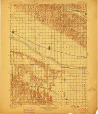
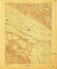
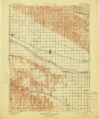
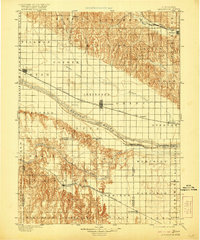
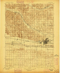
1899 Map of Lexington
USGS Topo · Published 1899About this map
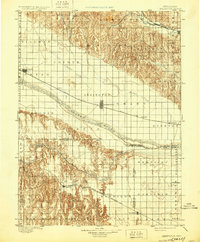
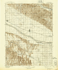
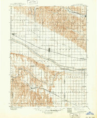
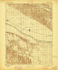
Lexington and the broad valley of the Platte River anchor this late 19th-century survey of south-central Nebraska. The map illustrates a landscape defined by two competing transportation corridors: the Union Pacific R. R. Main Line following the northern bank of the Platte, and the Burlington and Missouri River R. R. (Cheyenne Line) cutting through the loess hills to the south. These iron rails dictated the placement of emerging rail towns like Cozad, Overton, and Elwood.
Find a feature on this map
55 named features on this map. Tap any name to fly to it.
Don’t see what you’re looking for? This feature index may not catch every label — zoom into the map to look around manually.
Map Details
Editions of this 1899 Lexington Map
7 editions found
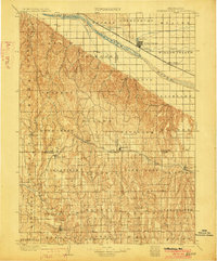
Other maps of this area
1896 · Lexington
USGS Topo · 1:125,000

1896 · Holdrege
USGS Topo · 1:125,000
1896 · Kearney
USGS Topo · 1:125,000

1896 · Arapahoe
USGS Topo · 1:125,000

1898 · Arapahoe
USGS Topo · 1:125,000
1902 · Gothenburg
USGS Topo · 1:125,000
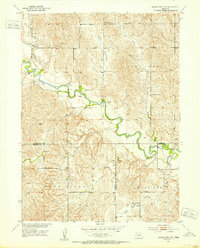
1951 · Mason City SW
USGS Topo · 1:24,000
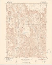
1951 · Oconto SW
USGS Topo · 1:24,000
1951 · Oconto SE
USGS Topo · 1:24,000
1951 · Eddyville
USGS Topo · 1:24,000