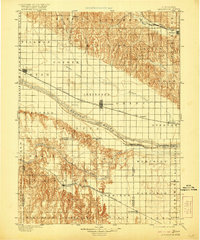
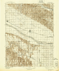
1899 Map of Lexington
USGS Topo · Published 1921About this map
Lexington and the surrounding Platte Valley landscape appear here in a transition between late-19th-century frontier and established agricultural commerce. The Plte River divides the terrain, flanked by the critical infrastructure of the Union Pacific R. R. (Main Line) through Cozad and Overton. South of the river, the Burlington and Missouri River R. R. (Cheyenne Line) services the growing settlements of Elwood and Smithfield.
Find a feature on this map
65 named features on this map. Tap any name to fly to it.
Don’t see what you’re looking for? This feature index may not catch every label — zoom into the map to look around manually.
Map Details
Editions of this 1899 Lexington Map
7 editions found
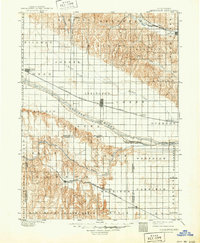
Other maps of this area

1896 · Lexington
USGS Topo · 1:125,000

1896 · Holdrege
USGS Topo · 1:125,000

1896 · Kearney
USGS Topo · 1:125,000

1896 · Arapahoe
USGS Topo · 1:125,000

1898 · Arapahoe
USGS Topo · 1:125,000

1899 · Lexington
USGS Topo · 1:125,000

1902 · Gothenburg
USGS Topo · 1:125,000

1951 · Mason City SW
USGS Topo · 1:24,000

1951 · Oconto SW
USGS Topo · 1:24,000

1951 · Oconto SE
USGS Topo · 1:24,000