
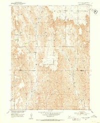
1951 Map of Oconto SW
USGS Topo · Published 1953About this map
Redfern Table dominates the northern landscape of this Nebraska upland, where the terrain transitions across the Custer and Dawson county line. The map captures a rural social fabric organized by township boundaries like Grant and Gillan, punctuated by the essential institutions of mid-century prairie life. Scattered one-room schoolhouses, including Sunny Hill Sch, School No 11, and Lemmery Sch, suggest a once-dense population of farm families who gathered at central points like the Pleasant Valley Ch. The drainage pattern is defined by the headwaters of Spring Creek, West Buffalo Creek, and East Buffalo Creek, which carve deep draws through the loess hills. These watercourses influenced the placement of early homesteads and road networks during a period of established agrarian development in the Missouri River Basin.
Find a feature on this map
14 named features on this map. Tap any name to fly to it.
Don’t see what you’re looking for? This feature index may not catch every label — zoom into the map to look around manually.
Map Details
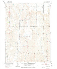
Editions of this 1951 Oconto SW Map
3 editions found
Other maps of this area

1896 · Lexington
USGS Topo · 1:125,000

1899 · Lexington
USGS Topo · 1:125,000

1902 · Gothenburg
USGS Topo · 1:125,000

1951 · Oconto SE
USGS Topo · 1:24,000

1951 · Oconto NW
USGS Topo · 1:24,000

1951 · Oconto
USGS Topo · 1:24,000

1954 · McCook
USGS Topo · 1:250,000

1954 · North Platte
USGS Topo · 1:250,000

1955 · Broken Bow
USGS Topo · 1:250,000

1955 · Grand Island
USGS Topo · 1:250,000