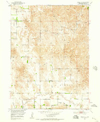
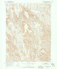
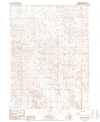
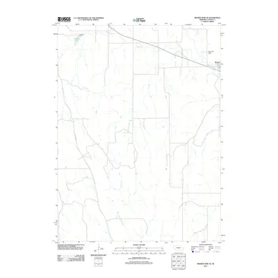
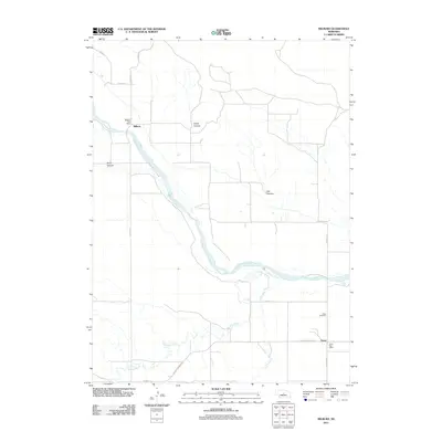
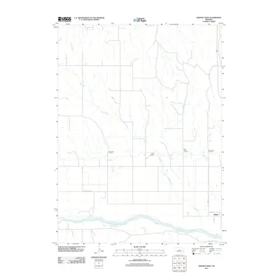
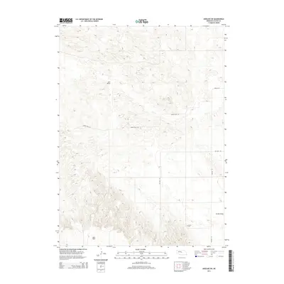
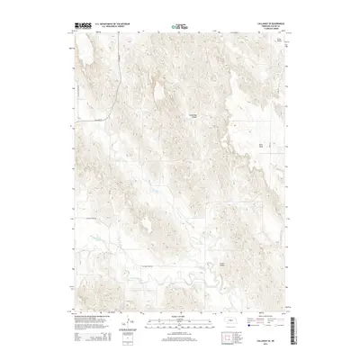
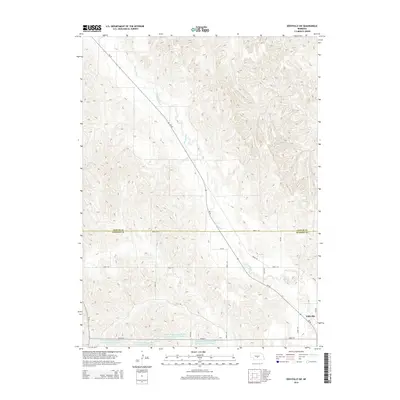
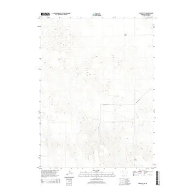
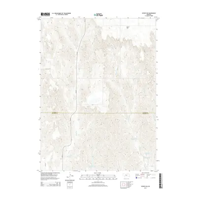
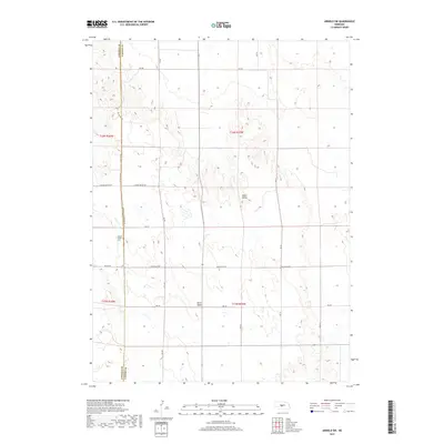
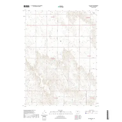
1951 Map of Oconto SW
USGS Topo · Published 1978About this map
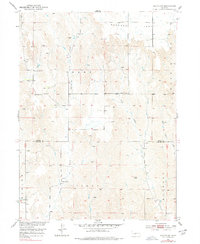
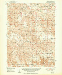
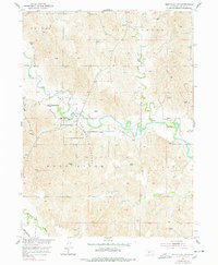
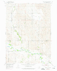
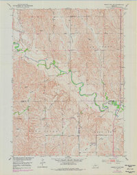
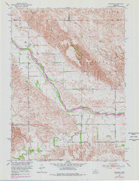
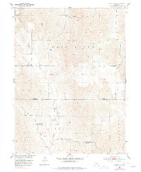
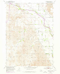
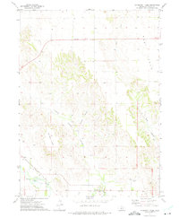
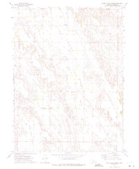
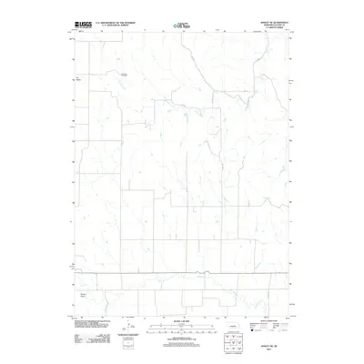
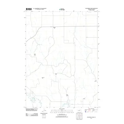
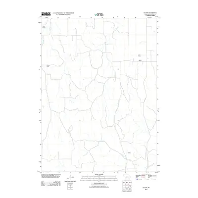
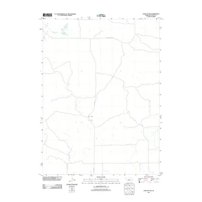
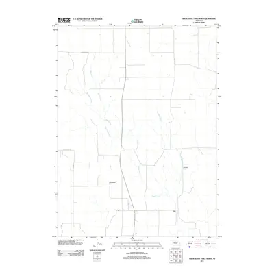
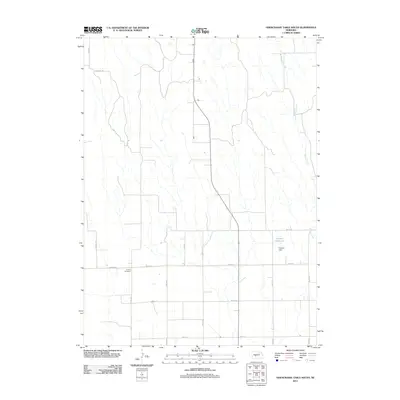
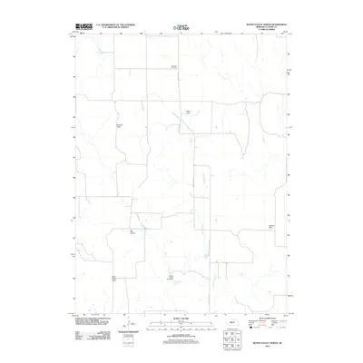
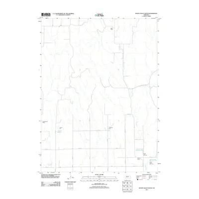
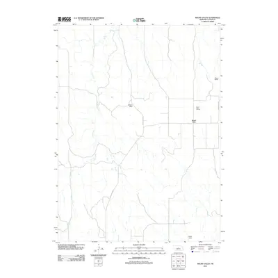
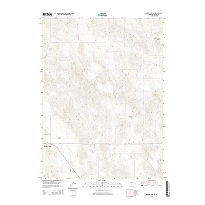
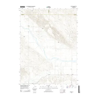
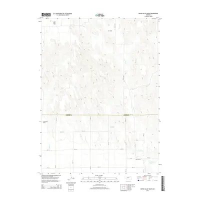
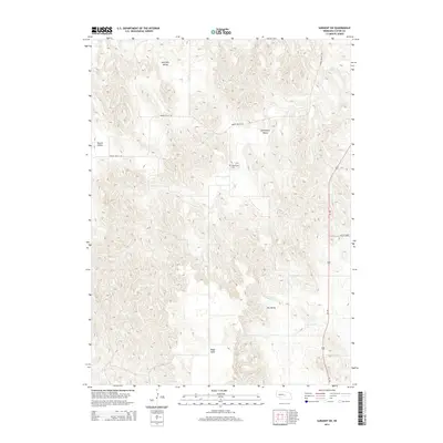
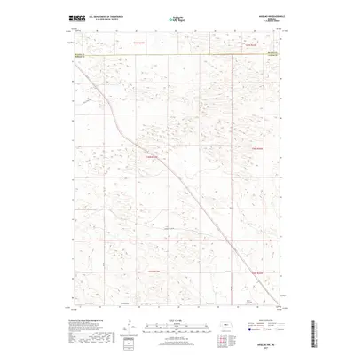
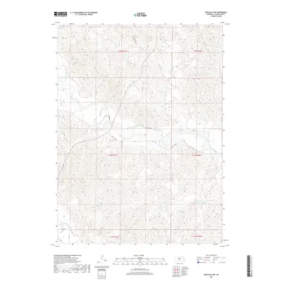
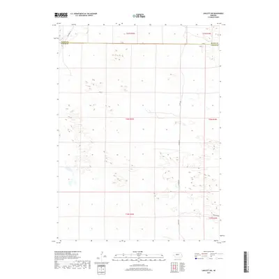
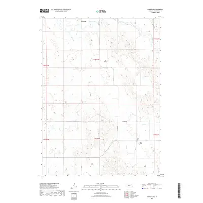
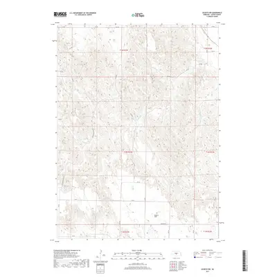
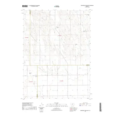
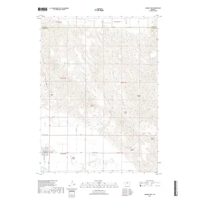
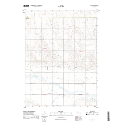
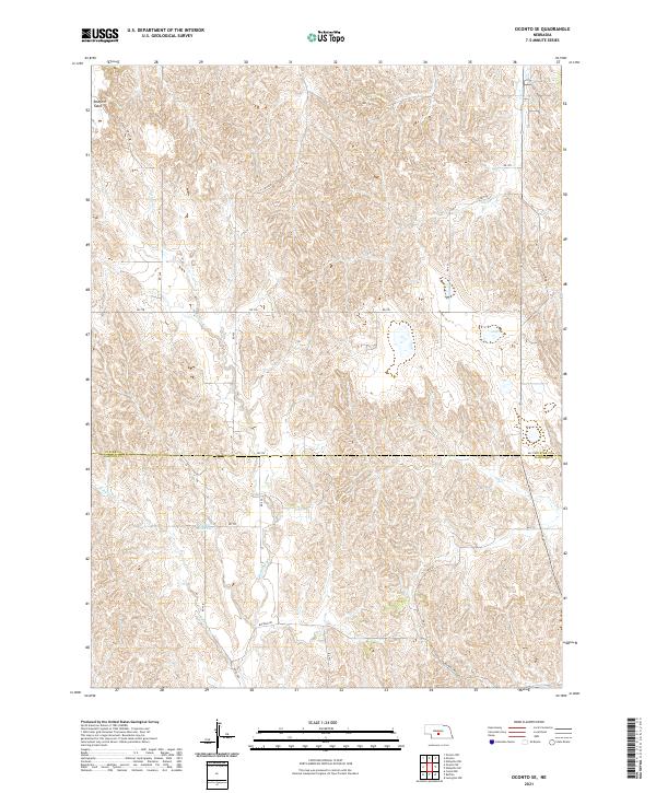
Redfern Table defines the northern landscape of this Nebraska quadrangle, overlooking a network of drainages that carve through the high plains. The transition between the Grant and Gillan townships reveals a rural settlement pattern centered on community landmarks and water access. Local life in the mid-20th century is mapped through its one-room schoolhouses and country churches, including Sunny Hill Sch and Pleasant Valley Ch. The terrain is shaped by the headwaters of several notable streams, such as Spring Creek and the divergent branches of West Buffalo Creek and East Buffalo Creek. To the east, the Wood River winds through the topography, while individual landmarks like the Windmill in the northern section provide specific points of reference for genealogists tracing ancestral homesteads along the Custer and Dawson County line.
Find a feature on this map
16 named features on this map. Tap any name to fly to it.
Don’t see what you’re looking for? This feature index may not catch every label — zoom into the map to look around manually.
Map Details
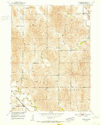
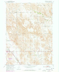
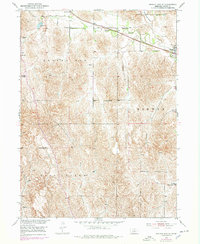
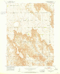
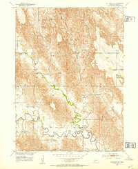
Editions of this 1951 Oconto SW Map
3 editions found
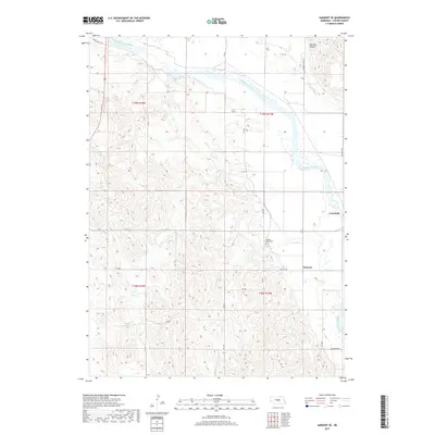
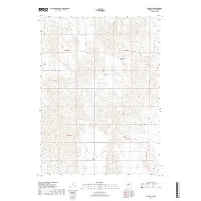
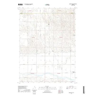
Historical Maps of Dawson County Through Time
192 maps found
1948 Linscott
Custer County, NE
1950 Linscott
Custer County, NE
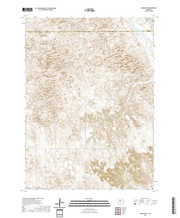
1951 Anselmo NE
Custer County, NE
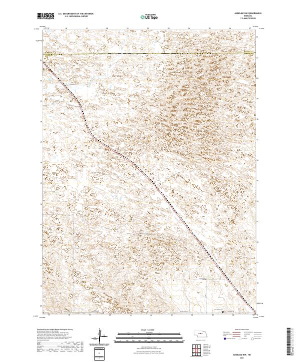
1951 Anselmo NW
Custer County, NE
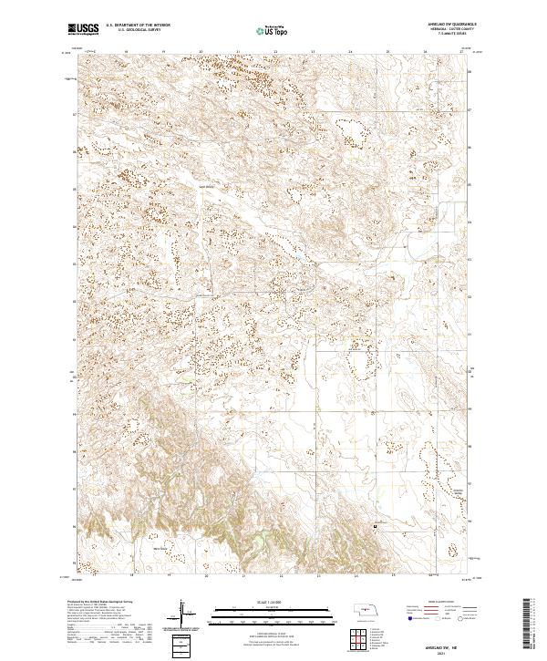
1951 Anselmo SW
Custer County, NE
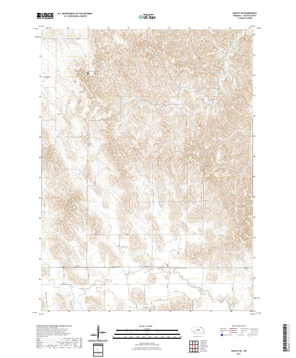
1951 Ansley NE
Custer County, NE
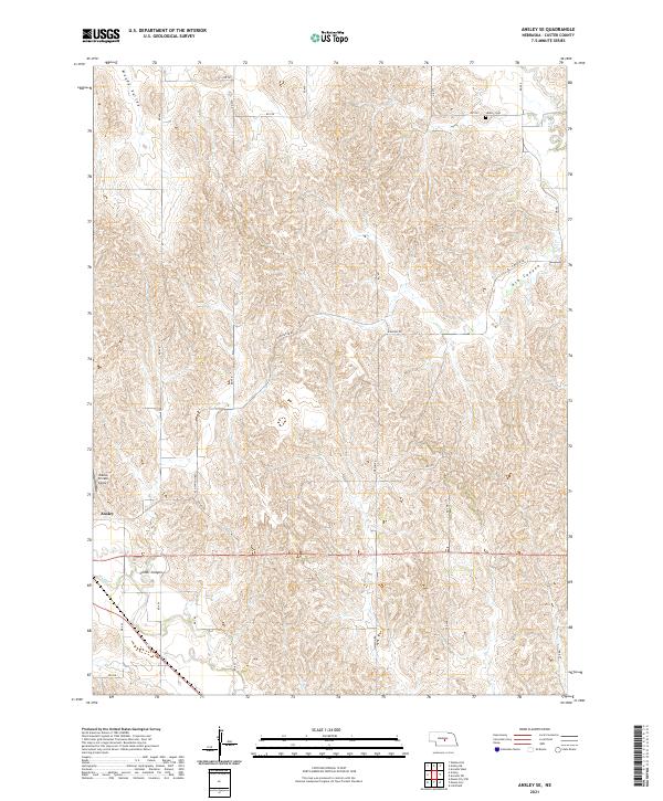
1951 Ansley SE
Custer County, NE
1951 Broken Bow NE
Custer County, NE
1951 Broken Bow SE
Custer County, NE
1951 Broken Bow SW
Custer County, NE
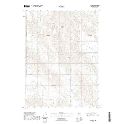
1951 Callaway NW
Custer County, NE
1951 Callaway SE
Custer County, NE
1951 Eddyville NE
Custer County, NE
1951 Eddyville NW
Custer County, NE
1951 Eddyville SW
Custer County, NE
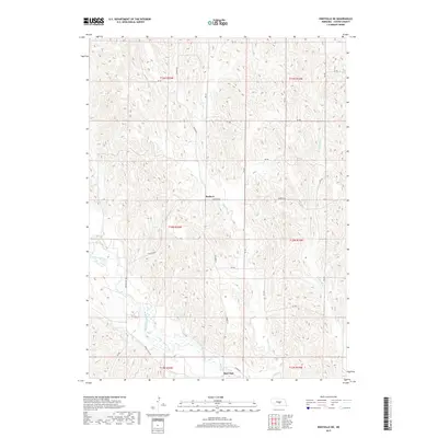
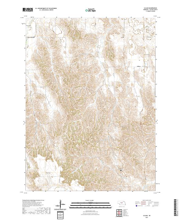
1951 Lillian
Custer County, NE
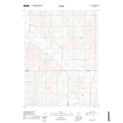
1951 Mason City NW
Custer County, NE
1951 Mason City SE
Custer County, NE
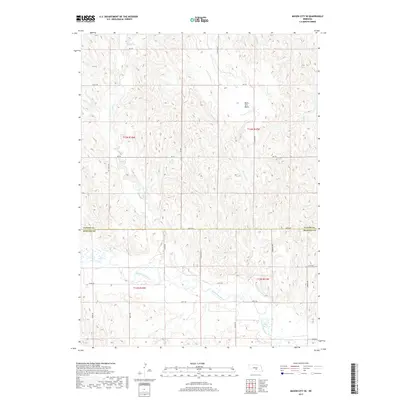
1951 Mason City SW
Custer County, NE
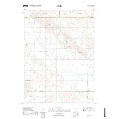
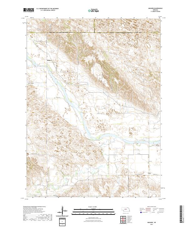
1951 Milburn
Custer County, NE
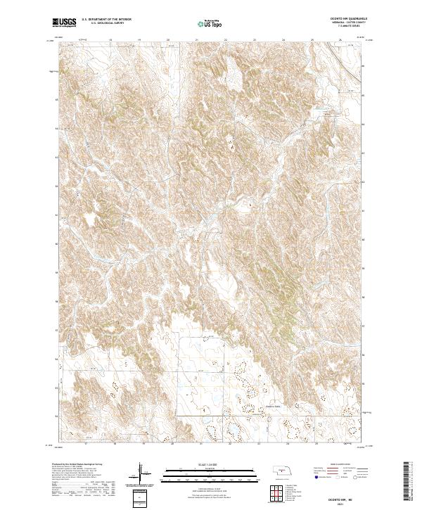
1951 Oconto NW
Custer County, NE
1951 Oconto SE
Custer County, NE
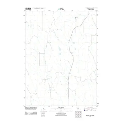
1951 Oconto SW
Custer County, NE
1951 Round Valley
Custer County, NE
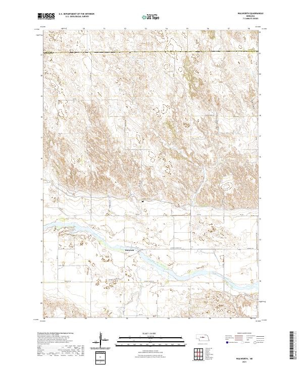
1951 Walworth
Custer County, NE
1952 Sargent East
Custer County, NE
1952 Sargent SE
Custer County, NE
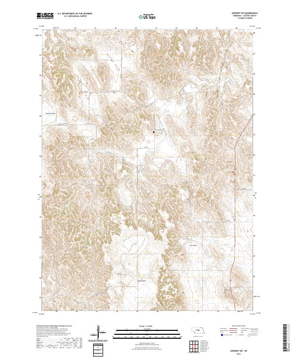
1952 Sargent SW
Custer County, NE
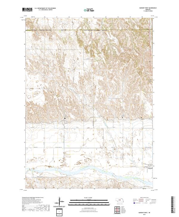
1952 Sargent West
Custer County, NE
1972 Arnold SW
Custer County, NE
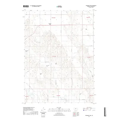
1972 Davenport Table
Custer County, NE
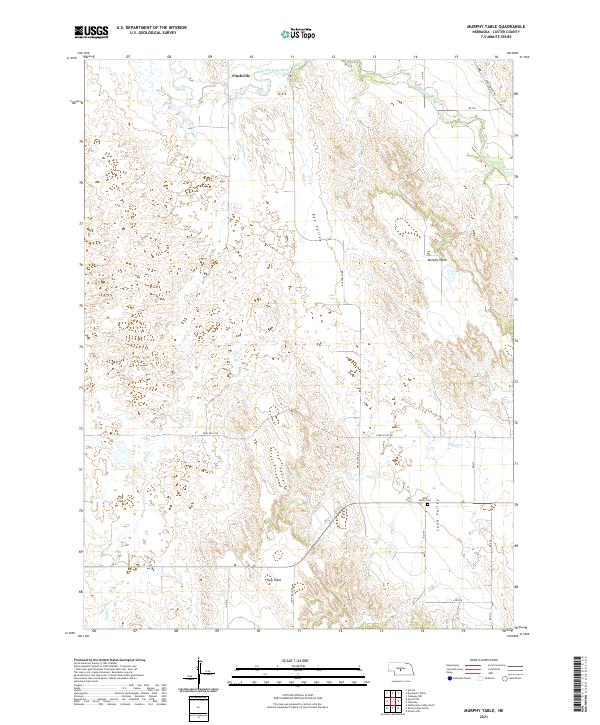
1972 Murphy Table
Custer County, NE
1972 Odencranze Table North
Custer County, NE
1972 Odencranze Table South
Custer County, NE
1972 Roten Valley North
Custer County, NE
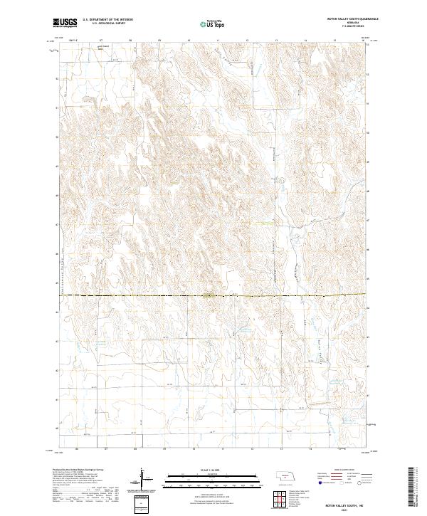
1972 Roten Valley South
Custer County, NE
1986 Linscott
Custer County, NE

1986 Linscott NW
Custer County, NE
1986 Linscott SE
Custer County, NE
1986 Linscott SW
Custer County, NE
2011 Anselmo NE
Custer County, NE
2011 Anselmo NW
Custer County, NE
2011 Anselmo SW
Custer County, NE
2011 Ansley NE
Custer County, NE
2011 Ansley SE
Custer County, NE
2011 Arnold SW
Custer County, NE
2011 Broken Bow NE
Custer County, NE
2011 Broken Bow SE
Custer County, NE
2011 Broken Bow SW
Custer County, NE
2011 Callaway NW
Custer County, NE
2011 Callaway SE
Custer County, NE
2011 Davenport Table
Custer County, NE
2011 Eddyville NE
Custer County, NE
2011 Eddyville NW
Custer County, NE
2011 Eddyville SW
Custer County, NE
2011 Lillian
Custer County, NE
2011 Linscott
Custer County, NE
2011 Linscott NW
Custer County, NE
2011 Linscott SE
Custer County, NE
2011 Linscott SW
Custer County, NE
2011 Mason City NW
Custer County, NE
2011 Mason City SE
Custer County, NE
2011 Mason City SW
Custer County, NE
2011 Milburn
Custer County, NE

2011 Murphy Table
Custer County, NE
2011 Oconto NW
Custer County, NE
2011 Oconto SE
Custer County, NE
2011 Oconto SW
Custer County, NE
2011 Odencranze Table North
Custer County, NE
2011 Odencranze Table South
Custer County, NE
2011 Roten Valley North
Custer County, NE
2011 Roten Valley South
Custer County, NE
2011 Round Valley
Custer County, NE
2011 Sargent East
Custer County, NE
2011 Sargent SE
Custer County, NE
2011 Sargent SW
Custer County, NE
2011 Sargent West
Custer County, NE
2011 Walworth
Custer County, NE
2014 Anselmo NE
Custer County, NE
2014 Anselmo NW
Custer County, NE
2014 Anselmo SW
Custer County, NE
2014 Ansley NE
Custer County, NE
2014 Ansley SE
Custer County, NE
2014 Arnold SW
Custer County, NE
2014 Broken Bow NE
Custer County, NE
2014 Broken Bow SE
Custer County, NE
2014 Broken Bow SW
Custer County, NE
2014 Callaway NW
Custer County, NE
2014 Callaway SE
Custer County, NE
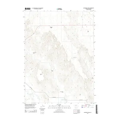
2014 Davenport Table
Custer County, NE
2014 Eddyville NE
Custer County, NE
2014 Eddyville NW
Custer County, NE
2014 Eddyville SW
Custer County, NE
2014 Lillian
Custer County, NE
2014 Linscott
Custer County, NE
2014 Linscott NW
Custer County, NE
2014 Linscott SE
Custer County, NE
2014 Linscott SW
Custer County, NE
2014 Mason City NW
Custer County, NE

2014 Mason City SE
Custer County, NE
2014 Mason City SW
Custer County, NE
2014 Milburn
Custer County, NE
2014 Murphy Table
Custer County, NE
2014 Oconto NW
Custer County, NE
2014 Oconto SE
Custer County, NE
2014 Oconto SW
Custer County, NE
2014 Odencranze Table North
Custer County, NE
2014 Odencranze Table South
Custer County, NE
2014 Roten Valley North
Custer County, NE
2014 Roten Valley South
Custer County, NE
2014 Round Valley
Custer County, NE
2014 Sargent East
Custer County, NE
2014 Sargent SE
Custer County, NE
2014 Sargent SW
Custer County, NE
2014 Sargent West
Custer County, NE
2014 Walworth
Custer County, NE
2017 Anselmo NE
Custer County, NE
2017 Anselmo NW
Custer County, NE
2017 Anselmo SW
Custer County, NE
2017 Ansley NE
Custer County, NE
2017 Ansley SE
Custer County, NE
2017 Arnold SW
Custer County, NE
2017 Broken Bow NE
Custer County, NE
2017 Broken Bow SE
Custer County, NE
2017 Broken Bow SW
Custer County, NE
2017 Callaway NW
Custer County, NE
2017 Callaway SE
Custer County, NE
2017 Davenport Table
Custer County, NE
2017 Eddyville NE
Custer County, NE
2017 Eddyville NW
Custer County, NE
2017 Eddyville SW
Custer County, NE
2017 Lillian
Custer County, NE
2017 Linscott
Custer County, NE
2017 Linscott NW
Custer County, NE
2017 Linscott SE
Custer County, NE
2017 Linscott SW
Custer County, NE
2017 Mason City NW
Custer County, NE
2017 Mason City SE
Custer County, NE
2017 Mason City SW
Custer County, NE
2017 Milburn
Custer County, NE
2017 Murphy Table
Custer County, NE
2017 Oconto NW
Custer County, NE
2017 Oconto SE
Custer County, NE
2017 Oconto SW
Custer County, NE
2017 Odencranze Table North
Custer County, NE
2017 Odencranze Table South
Custer County, NE
2017 Roten Valley North
Custer County, NE
2017 Roten Valley South
Custer County, NE
2017 Round Valley
Custer County, NE
2017 Sargent East
Custer County, NE
2017 Sargent SE
Custer County, NE
2017 Sargent SW
Custer County, NE
2017 Sargent West
Custer County, NE
2017 Walworth
Custer County, NE
2021 Anselmo NE
Custer County, NE
2021 Anselmo NW
Custer County, NE
2021 Anselmo SW
Custer County, NE
2021 Ansley NE
Custer County, NE
2021 Ansley SE
Custer County, NE
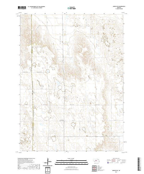
2021 Arnold SW
Custer County, NE
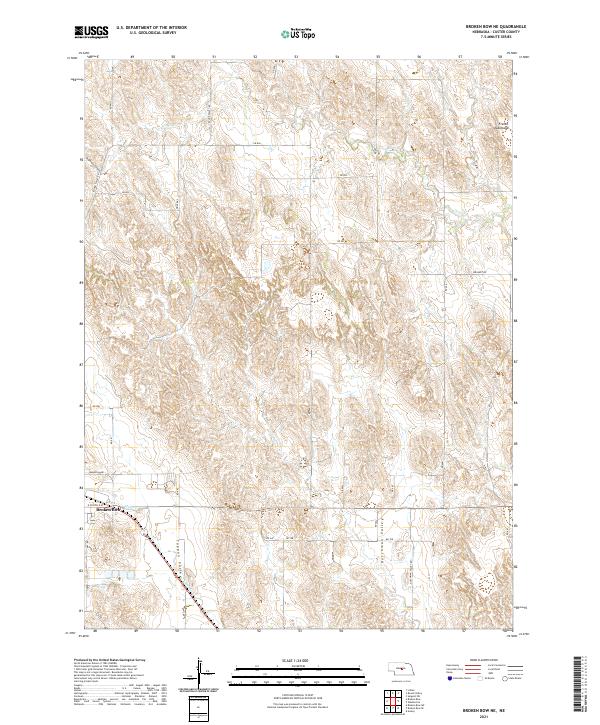
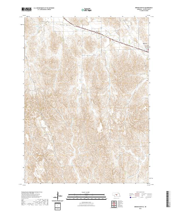
2021 Broken Bow NE
Custer County, NE
2021 Broken Bow SE
Custer County, NE
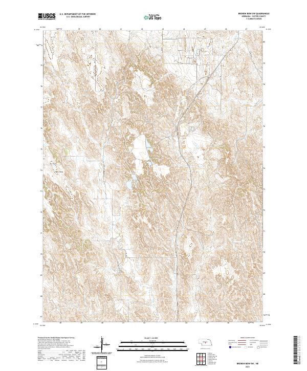
2021 Broken Bow SW
Custer County, NE
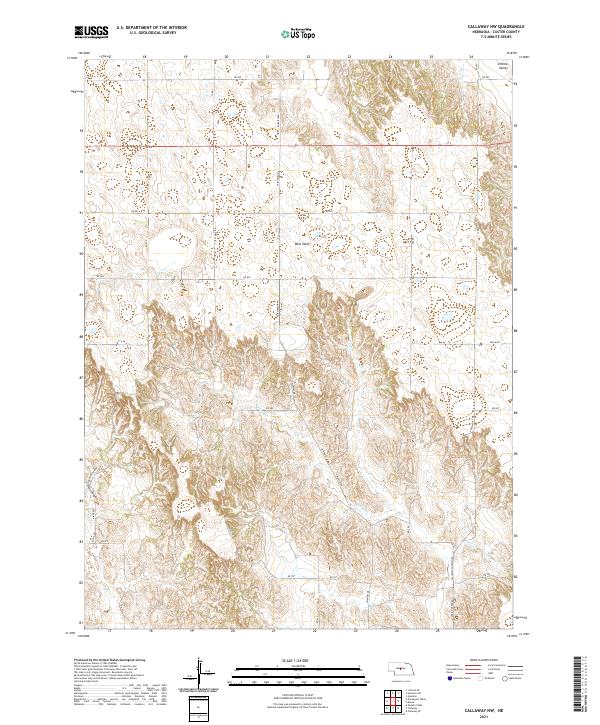
2021 Callaway NW
Custer County, NE
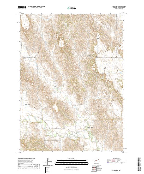
2021 Callaway SE
Custer County, NE
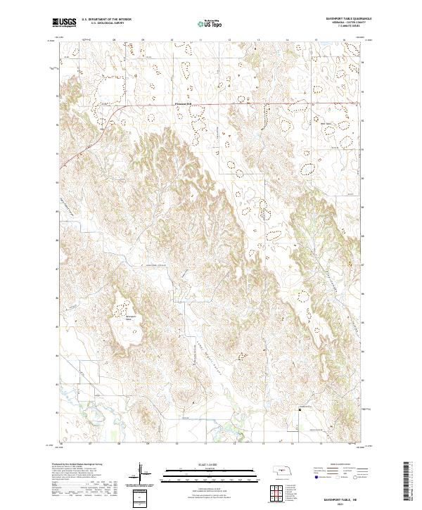
2021 Davenport Table
Custer County, NE
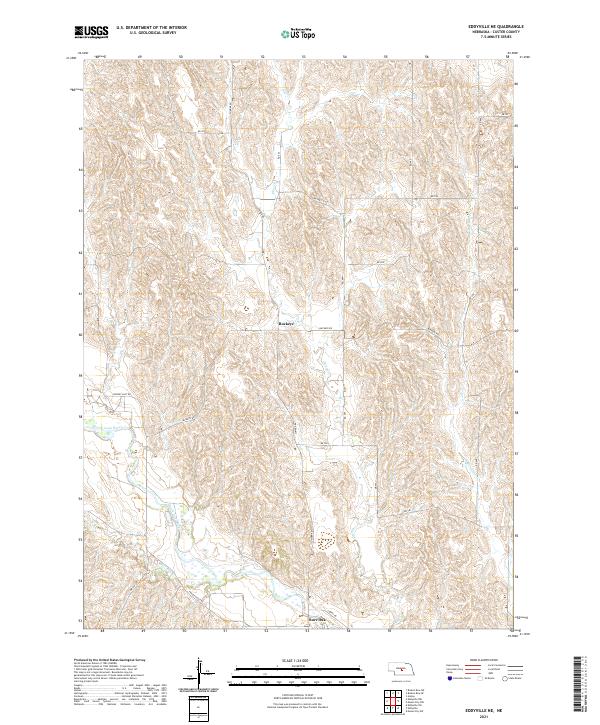
2021 Eddyville NE
Custer County, NE
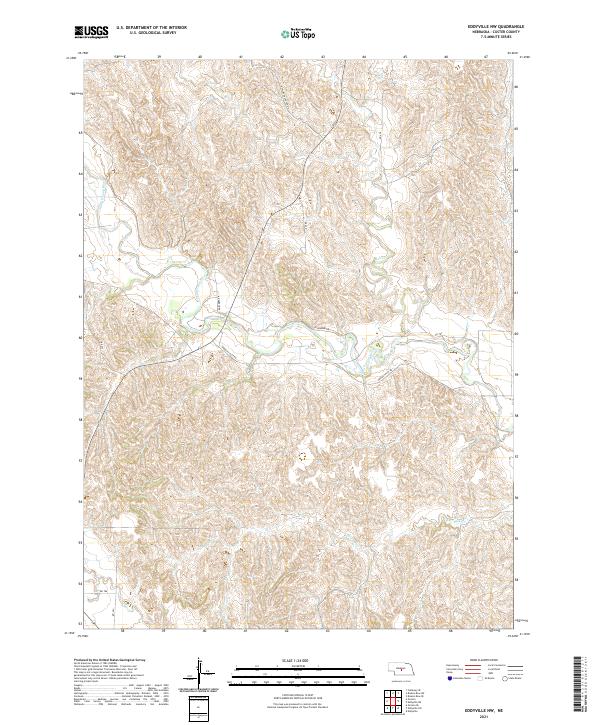
2021 Eddyville NW
Custer County, NE
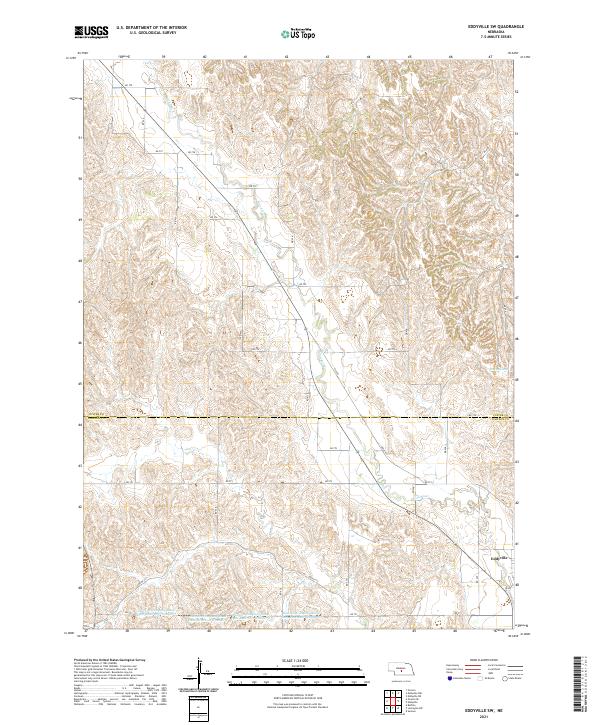
2021 Eddyville SW
Custer County, NE
2021 Lillian
Custer County, NE
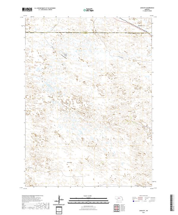
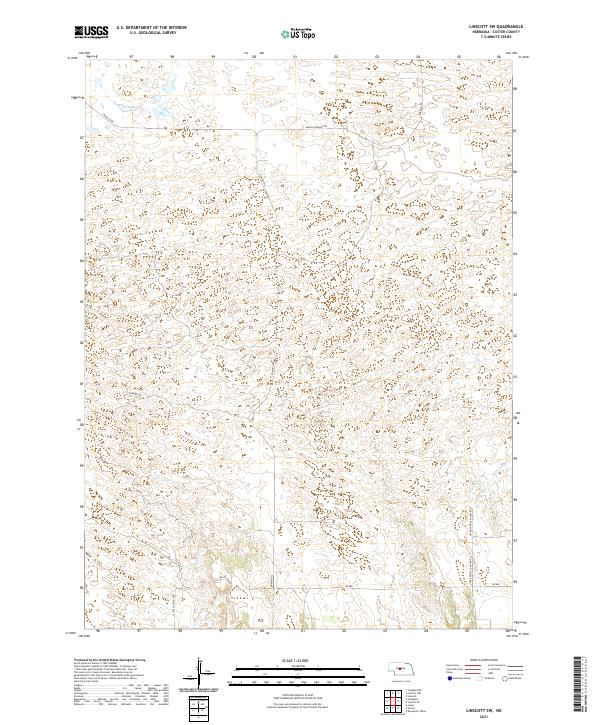
2021 Linscott
Custer County, NE
2021 Linscott NW
Custer County, NE
2021 Linscott SE
Custer County, NE
2021 Linscott SW
Custer County, NE
2021 Mason City NW
Custer County, NE
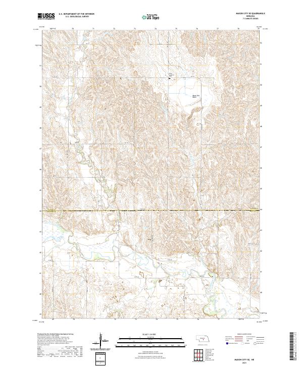
2021 Mason City SE
Custer County, NE
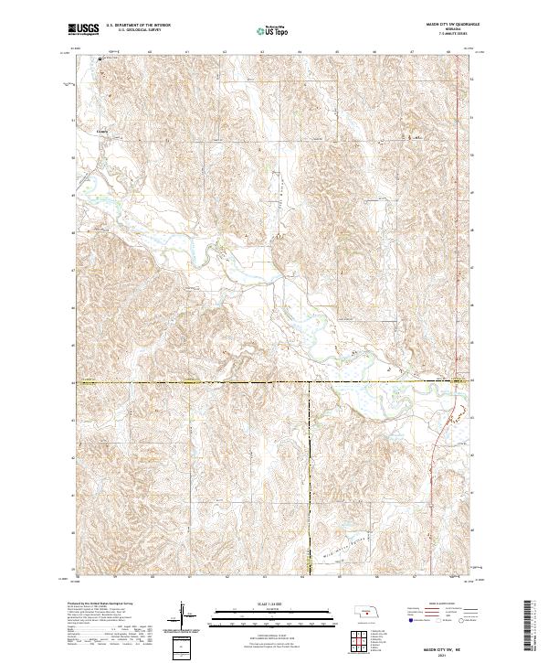
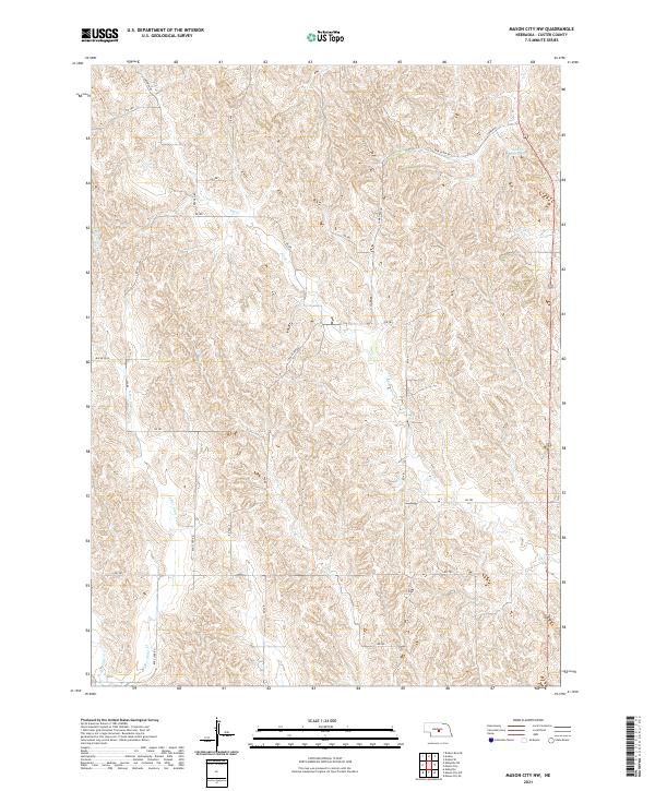
2021 Mason City SW
Custer County, NE
2021 Milburn
Custer County, NE
2021 Murphy Table
Custer County, NE
2021 Oconto NW
Custer County, NE
2021 Oconto SE
Custer County, NE
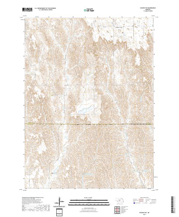
2021 Oconto SW
Custer County, NE
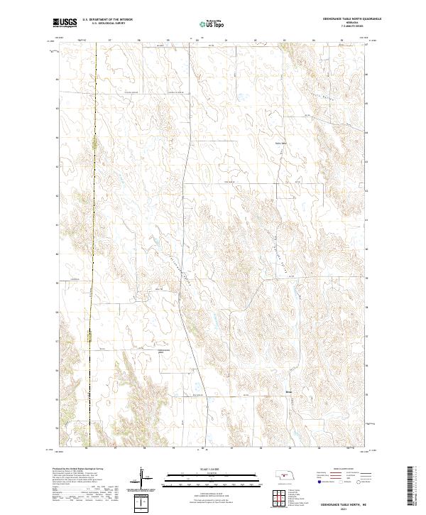
2021 Odencranze Table North
Custer County, NE
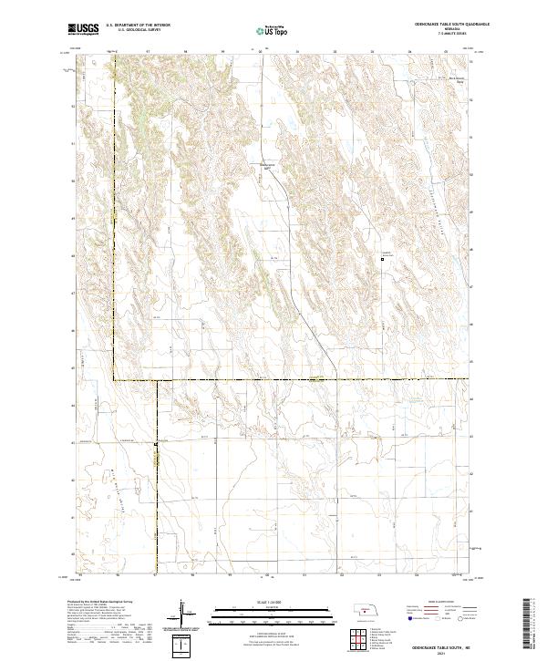
2021 Odencranze Table South
Custer County, NE
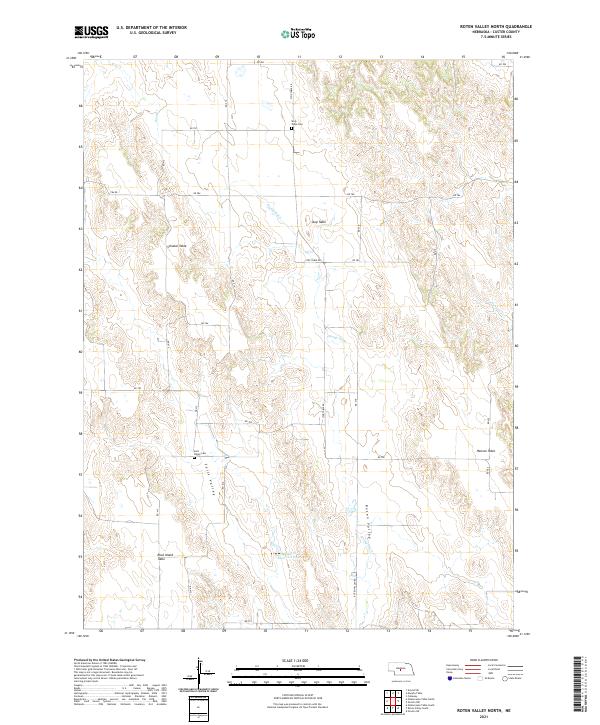
2021 Roten Valley North
Custer County, NE
2021 Roten Valley South
Custer County, NE
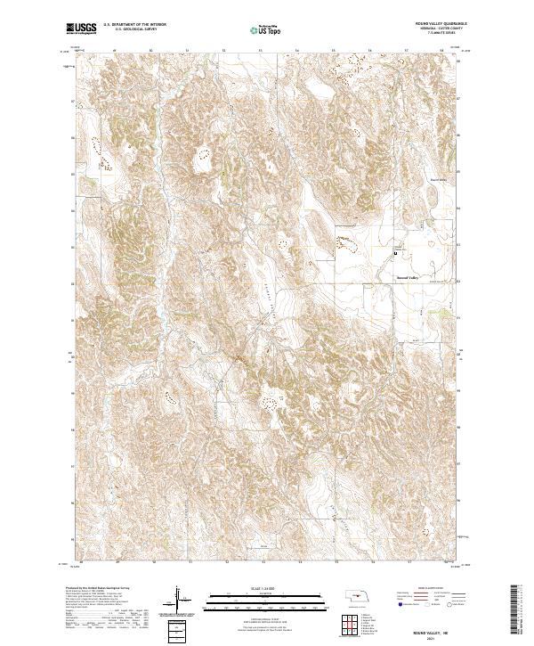
2021 Round Valley
Custer County, NE
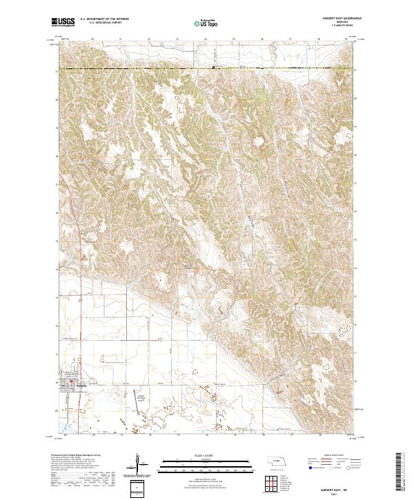
2021 Sargent East
Custer County, NE
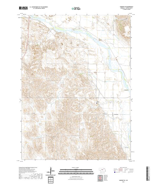
2021 Sargent SE
Custer County, NE
2021 Sargent SW
Custer County, NE
2021 Sargent West
Custer County, NE
2021 Walworth
Custer County, NE