
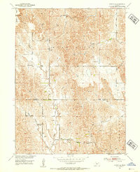
1951 Map of Oconto SE
USGS Topo · Published 1953About this map
Redfern and the surrounding agricultural uplands in the early 1950s show a landscape defined by its rural community centers and watercourses. The drainage of Buffalo Creek and East Buffalo Creek shapes the terrain, leading toward the Wood River in the south. This area, straddling the boundaries of Custer, Dawson, and Buffalo counties, was served by a dense network of country schools, many of which had already begun to close by the time of this field check.
Find a feature on this map
18 named features on this map. Tap any name to fly to it.
Don’t see what you’re looking for? This feature index may not catch every label — zoom into the map to look around manually.
Map Details
Editions of this 1951 Oconto SE Map
3 editions found
Other maps of this area

1896 · Lexington
USGS Topo · 1:125,000

1899 · Lexington
USGS Topo · 1:125,000

1951 · Oconto SW
USGS Topo · 1:24,000

1951 · Eddyville NW
USGS Topo · 1:24,000

1951 · Eddyville SW
USGS Topo · 1:24,000

1951 · Oconto NW
USGS Topo · 1:24,000

1951 · Oconto
USGS Topo · 1:24,000

1955 · Broken Bow
USGS Topo · 1:250,000

1955 · Grand Island
USGS Topo · 1:250,000

1956 · Broken Bow
USGS Topo · 1:250,000