
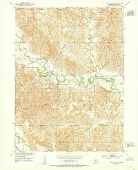
1951 Map of Eddyville NW
USGS Topo · Published 1953About this map
The South Loup River winds through the heart of this Custer County landscape, defining a valley where mid-century conservation and rural education shaped the community. Central to the area is the Pressey State Recreation Grounds, a significant public space carved out along the river's meandering banks. The map reflects a classic Nebraska river-and-rail economy, with the Union Pacific line skirting the southern edge of the quadrangle near the Wood River.
Find a feature on this map
10 named features on this map. Tap any name to fly to it.
Don’t see what you’re looking for? This feature index may not catch every label — zoom into the map to look around manually.
Map Details
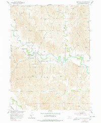
Editions of this 1951 Eddyville NW Map
3 editions found
Other maps of this area

1951 · Broken Bow SW
USGS Topo · 1:24,000

1951 · Broken Bow SE
USGS Topo · 1:24,000

1951 · Eddyville NE
USGS Topo · 1:24,000

1951 · Callaway SE
USGS Topo · 1:24,000

1951 · Oconto SE
USGS Topo · 1:24,000

1951 · Eddyville
USGS Topo · 1:24,000

1951 · Eddyville SW
USGS Topo · 1:24,000

1951 · Oconto
USGS Topo · 1:24,000

1955 · Broken Bow
USGS Topo · 1:250,000

1956 · Broken Bow
USGS Topo · 1:250,000