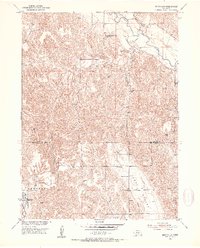
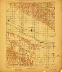
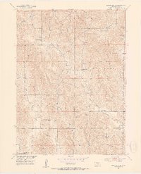
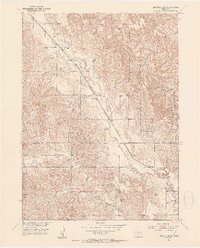
1951 Map of Eddyville
USGS Topo · Published 1953About this map
Eddyville sits along the southern edge of this mid-century survey, a vital point where the Union Pacific railroad tracks navigate the landscape. The geography is defined by the contrast between the flat Wood River Valley and the deeply dissected hills to the north, cut by Buzzards Roost Canyon. Water resources are central to the region, with the South Loup River and Deer Creek winding through the northern sections, while numerous windmills are marked across the higher elevations to support local ranching.
Find a feature on this map
16 named features on this map. Tap any name to fly to it.
Don’t see what you’re looking for? This feature index may not catch every label — zoom into the map to look around manually.
Map Details
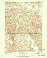
Editions of this 1951 Eddyville Map
2 editions found
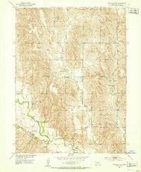
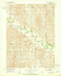
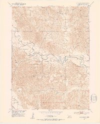
Other maps of this area
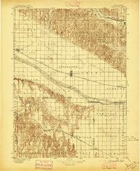
1896 · Lexington
USGS Topo · 1:125,000
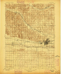
1896 · Kearney
USGS Topo · 1:125,000
1899 · Lexington
USGS Topo · 1:125,000
1951 · Eddyville NE
USGS Topo · 1:24,000
1951 · Mason City SW
USGS Topo · 1:24,000
1951 · Eddyville NW
USGS Topo · 1:24,000
1951 · Mason City NW
USGS Topo · 1:24,000
1951 · Eddyville SW
USGS Topo · 1:24,000

1955 · Broken Bow
USGS Topo · 1:250,000

1955 · Grand Island
USGS Topo · 1:250,000