
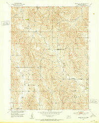
1951 Map of Mason City NW
USGS Topo · Published 1953About this map
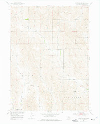
The prairie landscape of Berwyn and Ansley townships is documented here as part of a mid-century Missouri River Basin development program. This survey captures a network of rural education and community hubs, including Hawk Sch and Ash Grove Sch in the north, and Battle Bend Sch further south. The topography is defined by the winding paths of Elk Creek and East Box Elder Creek, where numerous windmills are noted, highlighting the essential infrastructure for agricultural life in this region. At the southern edge of the sheet, the First Eudell Ch stands near the confluence of local drainages, serving as a landmark for the scattered farmsteads of Elk Creek township and Loup township. The density of named schools like McIntosh Sch and Cat Creek Sch provides a precise view of rural population distribution before late-century consolidation.
Find a feature on this map
17 named features on this map. Tap any name to fly to it.
Don’t see what you’re looking for? This feature index may not catch every label — zoom into the map to look around manually.
Map Details
Editions of this 1951 Mason City NW Map
3 editions found
Other maps of this area

1951 · Ansley
USGS Topo · 1:24,000

1951 · Broken Bow SE
USGS Topo · 1:24,000

1951 · Eddyville NE
USGS Topo · 1:24,000

1951 · Mason City SW
USGS Topo · 1:24,000

1951 · Eddyville
USGS Topo · 1:24,000

1951 · Mason City
USGS Topo · 1:24,000

1951 · Ansley SE
USGS Topo · 1:24,000

1951 · Mason City SE
USGS Topo · 1:24,000

1955 · Broken Bow
USGS Topo · 1:250,000

1956 · Broken Bow
USGS Topo · 1:250,000