
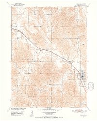
1951 Map of Ansley
USGS Topo · Published 1952About this map
Chicago Burlington and Quincy tracks diagonally through Custer County, serving as the industrial backbone for the mid-century Nebraska ranching country shown here. The topography is defined by the winding course of Mud Creek and the drainage of Goose Valley, where early 1950s land use is marked by a network of rural schoolhouses and cemeteries. Local education hubs such as Janesville Sch and the Goose Valley Sch supported the dispersed agricultural population, while the small plat of Ansley at the intersection of State Routes 2, 92, and 183 represents the area's primary commercial center. Genealogists will find interest in the proximity of family-related landmarks, including the Janesville Cem and Ansley Cem, which anchor the history of these Prairie settlements.
Find a feature on this map
21 named features on this map. Tap any name to fly to it.
Don’t see what you’re looking for? This feature index may not catch every label — zoom into the map to look around manually.
Map Details
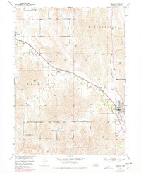
Editions of this 1951 Ansley Map
3 editions found
Other maps of this area

1951 · Broken Bow NE
USGS Topo · 1:24,000

1951 · Westerville
USGS Topo · 1:24,000

1951 · Broken Bow SE
USGS Topo · 1:24,000

1951 · Ansley NE
USGS Topo · 1:24,000

1951 · Eddyville NE
USGS Topo · 1:24,000

1951 · Mason City NW
USGS Topo · 1:24,000

1951 · Mason City
USGS Topo · 1:24,000

1951 · Ansley SE
USGS Topo · 1:24,000

1955 · Broken Bow
USGS Topo · 1:250,000

1956 · Broken Bow
USGS Topo · 1:250,000