
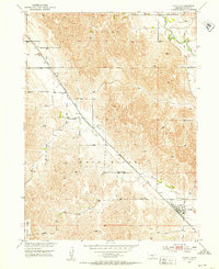
1951 Map of Oconto
USGS Topo · Published 1953About this map
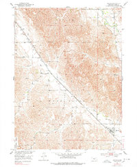
Oconto stands as the primary hub in this mid-century Custer County landscape, situated along the Union Pacific railroad line. The settlement pattern follows the drainage of the Wood River and the South Loup River, which carve through the high terrain of Redfern Table. This 1951 field-checked survey reveals a distributed network of rural education and community life, with several schools such as Lucky Star Sch and Lower Lodi Sch serving scattered farmsteads. To the northwest, the settlement of Lodi is marked by its own school and the nearby Lodi Cem. The map provides a clear look at the region before significant modern rural consolidation, preserving the locations of numerous cemeteries including St Mary Cem and Riverside Cem that are vital for local genealogical research.
Find a feature on this map
17 named features on this map. Tap any name to fly to it.
Don’t see what you’re looking for? This feature index may not catch every label — zoom into the map to look around manually.
Map Details
Editions of this 1951 Oconto Map
3 editions found
Other maps of this area

1951 · Broken Bow SW
USGS Topo · 1:24,000

1951 · Callaway SE
USGS Topo · 1:24,000

1951 · Callaway
USGS Topo · 1:24,000

1951 · Oconto SW
USGS Topo · 1:24,000

1951 · Eddyville NW
USGS Topo · 1:24,000

1951 · Oconto SE
USGS Topo · 1:24,000

1951 · Eddyville SW
USGS Topo · 1:24,000

1951 · Oconto NW
USGS Topo · 1:24,000

1955 · Broken Bow
USGS Topo · 1:250,000

1956 · Broken Bow
USGS Topo · 1:250,000