
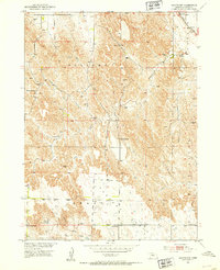
1951 Map of Oconto NW
USGS Topo · Published 1953About this map
The rural topography of Custer County reveals a landscape defined by seasonal watercourses and the steady rhythm of prairie education in the early 1950s. The drainage systems of Wood River and its tributaries, Cottonwood Creek and Spring Creek, carve through the terrain, providing the essential structure for the local townships of Delight, Grant, and Redfern. A remarkable concentration of rural schoolhouses, including Hillside Sch, Hog Hollow Sch, Cottonwood Sch, Happy Hollow Sch, and Redfern Sch, speaks to a decentralized community structure where local children still attended neighborhood classes within walking distance of their family farms.
Find a feature on this map
14 named features on this map. Tap any name to fly to it.
Don’t see what you’re looking for? This feature index may not catch every label — zoom into the map to look around manually.
Map Details
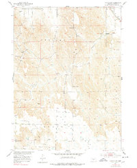
Editions of this 1951 Oconto NW Map
3 editions found
Other maps of this area

1951 · Callaway SE
USGS Topo · 1:24,000

1951 · Callaway
USGS Topo · 1:24,000

1951 · Oconto SW
USGS Topo · 1:24,000

1951 · Oconto SE
USGS Topo · 1:24,000

1951 · Oconto
USGS Topo · 1:24,000

1954 · North Platte
USGS Topo · 1:250,000

1955 · Broken Bow
USGS Topo · 1:250,000

1956 · Broken Bow
USGS Topo · 1:250,000

1956 · North Platte
USGS Topo · 1:250,000

1957 · North Platte
USGS Topo · 1:250,000