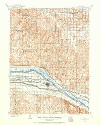
1956 Map of North Platte
USGS Topo · Published 1956About this map
The Sand Hills of western Nebraska dominate this mid-century landscape, where the intricate drainage systems of the Middle Loup River and Dismal River carve through the grassland. The region's hydraulic engineering is on full display south of the hills, centered on the massive Lake C W McConaughy and a complex network of irrigation and power works including the Sutherland Canal and North Platte Canal. These waterways parallel the North Platte River and the South Platte River, forming a vital corridor for agriculture and transport.
Find a feature on this map
59 named features on this map. Tap any name to fly to it.
Don’t see what you’re looking for? This feature index may not catch every label — zoom into the map to look around manually.
Map Details
Editions of this 1956 North Platte Map
This is the sole edition of this map. No revisions or reprints were ever made.
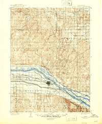
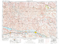
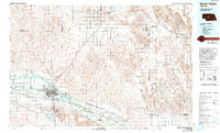
Historical Maps of North Platte Through Time
7 maps found