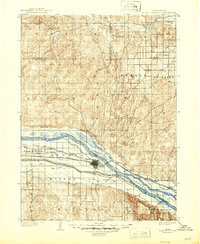
1899 Map of North Platte
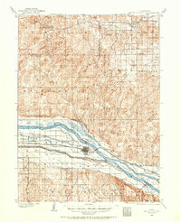
USGS Topo · Published 1957About this map
The North Platte River and South Platte River converge at the heart of this late nineteenth-century Nebraska landscape, defining a region dominated by a complex network of early irrigation and transit. The Union Pacific RR follows the southern bank of the North Platte, connecting small siding settlements and agricultural hubs like Spuds and Nichols. This 1899 survey, led by geographer Jno. H. Renshawe, captures the intensive water management required for prairie life, featuring an extensive system of man-made waterways including the Birdwood Canal, Paxton and Hershey Canal, and the Scouts Rest Canal. Beyond the river valley, the topography rises into the hills of McPherson and Lincoln Counties, where isolated outposts such as Newberries Crossroads and Lemley served as remote landmarks for early residents and travelers crossing the Nebraska Sandhills.
Find a feature on this map
44 named features on this map. Tap any name to fly to it.
Don’t see what you’re looking for? This feature index may not catch every label — zoom into the map to look around manually.
Map Details
Editions of this 1899 North Platte Map
This is the sole edition of this map. No revisions or reprints were ever made.
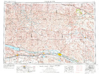
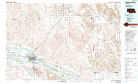
Historical Maps of North Platte Through Time
7 maps found