
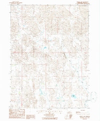
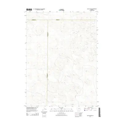
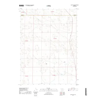
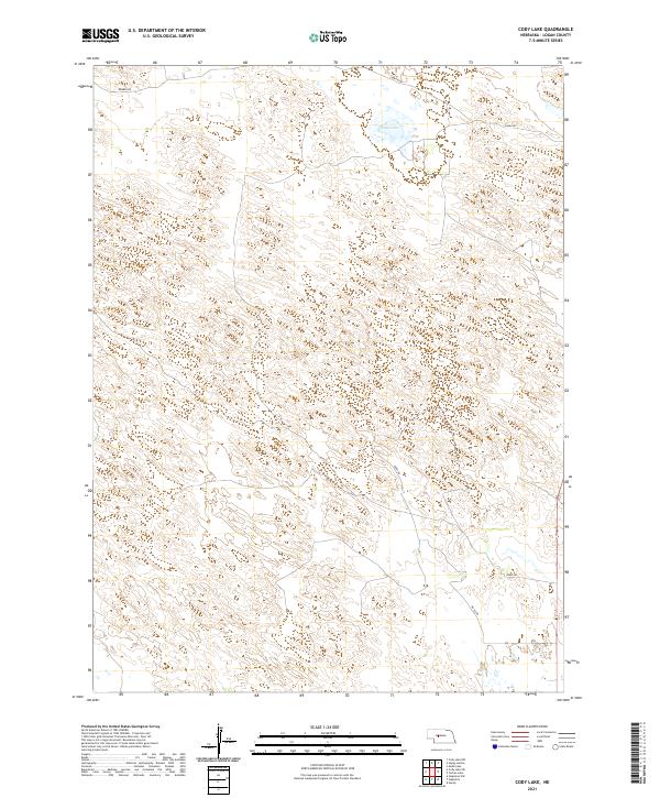
1951 Map of Cody Lake
USGS Topo · Published 1951About this map
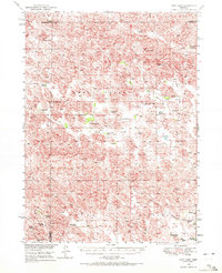
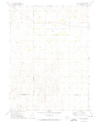
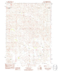
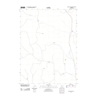
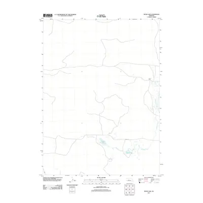
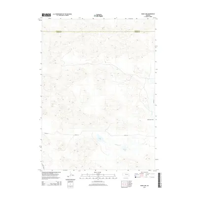
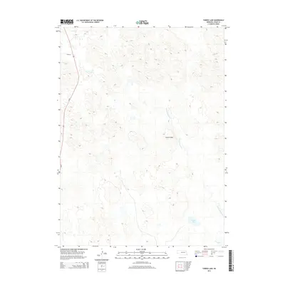
Lone Star Cem and several small rural schools anchor this mid-century view of the Sandhills, where the borders of Thomas, McPherson, and Logan Counties converge. The landscape is defined by the Lone Valley and Happy Hollow, illustrating a remote ranching economy dependent on scattered homesteads and water sources like Cody Lake. Dozens of named family operations are documented here, including the Star Ranch, L Barnum Ranch, and Vichmeyer Ranch, providing a precise record of land occupancy shortly after World War II. Education in this sparsely populated region was served by a network of local institutions such as Prairie Dell Sch, Lone Valley Sch, and Cody Lake Sch, which acted as vital community hubs for the surrounding cattle country.
Find a feature on this map
37 named features on this map. Tap any name to fly to it.
Don’t see what you’re looking for? This feature index may not catch every label — zoom into the map to look around manually.
Map Details
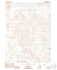
Editions of this 1951 Cody Lake Map
2 editions found
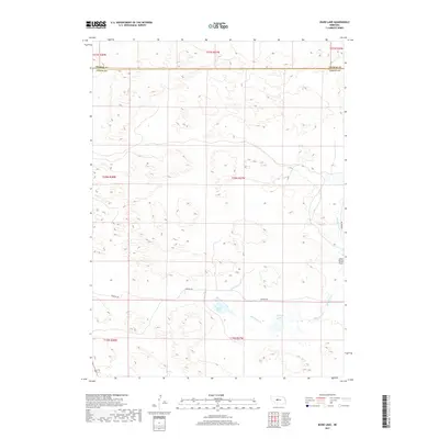
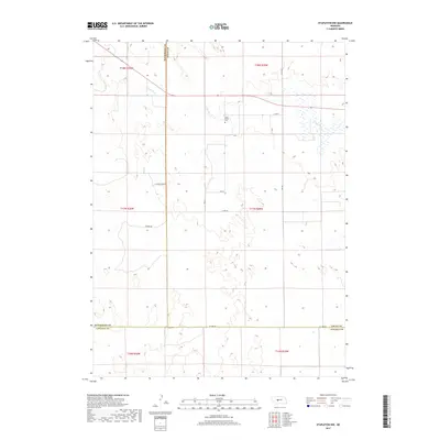
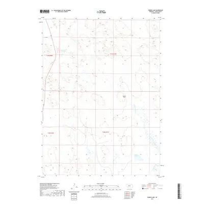
Historical Maps of McPherson County Through Time
53 maps found
1949 Cody Lake
Logan County, NE
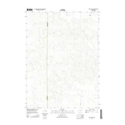
1951 Cody Lake
Logan County, NE
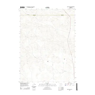
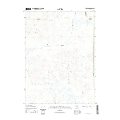
1951 Hoagland
Logan County, NE
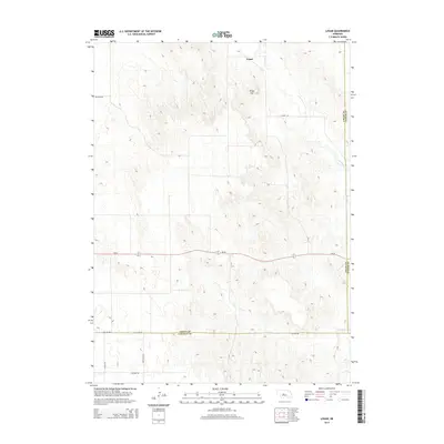
1972 Logan
Logan County, NE
1972 Stapleton NW
Logan County, NE
1986 Cody Lake
Logan County, NE
1986 Cody Lake NW
Logan County, NE
1986 Cody Lake SW
Logan County, NE
1986 Happy Hollow
Logan County, NE
1986 Hoagland
Logan County, NE
1986 Hoagland NE
Logan County, NE
1986 Mudd Lake
Logan County, NE
1986 Tarbox Lake
Logan County, NE
2011 Cody Lake
Logan County, NE
2011 Cody Lake NW
Logan County, NE
2011 Cody Lake SW
Logan County, NE
2011 Happy Hollow
Logan County, NE
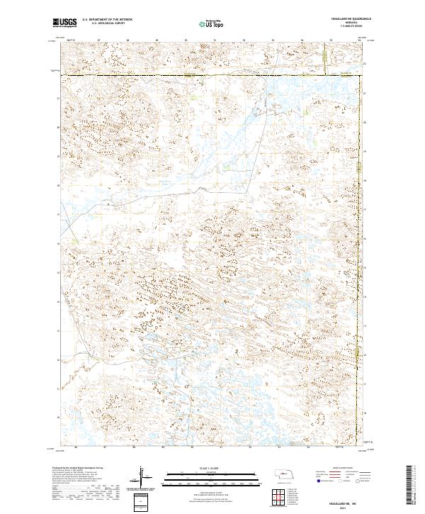
2011 Hoagland
Logan County, NE
2011 Hoagland NE
Logan County, NE
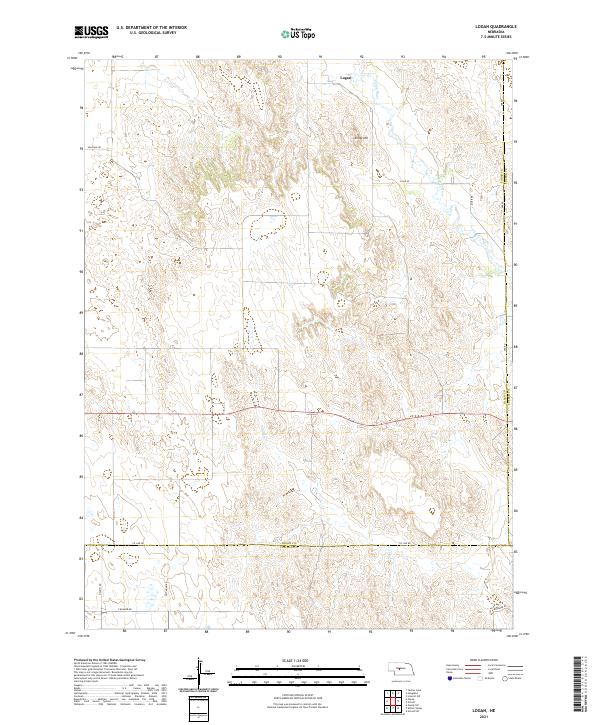
2011 Logan
Logan County, NE
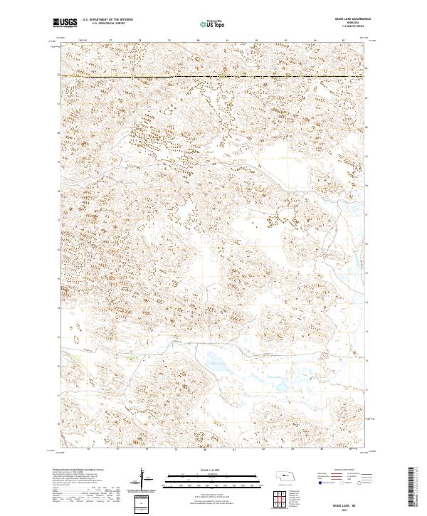
2011 Mudd Lake
Logan County, NE
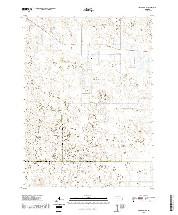
2011 Stapleton NW
Logan County, NE
2011 Tarbox Lake
Logan County, NE
2014 Cody Lake
Logan County, NE
2014 Cody Lake NW
Logan County, NE
2014 Cody Lake SW
Logan County, NE
2014 Happy Hollow
Logan County, NE
2014 Hoagland
Logan County, NE
2014 Hoagland NE
Logan County, NE
2014 Logan
Logan County, NE
2014 Mudd Lake
Logan County, NE
2014 Stapleton NW
Logan County, NE
2014 Tarbox Lake
Logan County, NE
2017 Cody Lake
Logan County, NE
2017 Cody Lake NW
Logan County, NE
2017 Cody Lake SW
Logan County, NE
2017 Happy Hollow
Logan County, NE
2017 Hoagland
Logan County, NE
2017 Hoagland NE
Logan County, NE
2017 Logan
Logan County, NE
2017 Mudd Lake
Logan County, NE
2017 Stapleton NW
Logan County, NE
2017 Tarbox Lake
Logan County, NE
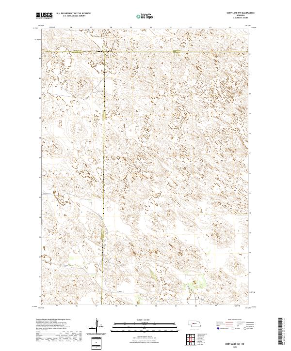
2021 Cody Lake
Logan County, NE
2021 Cody Lake NW
Logan County, NE
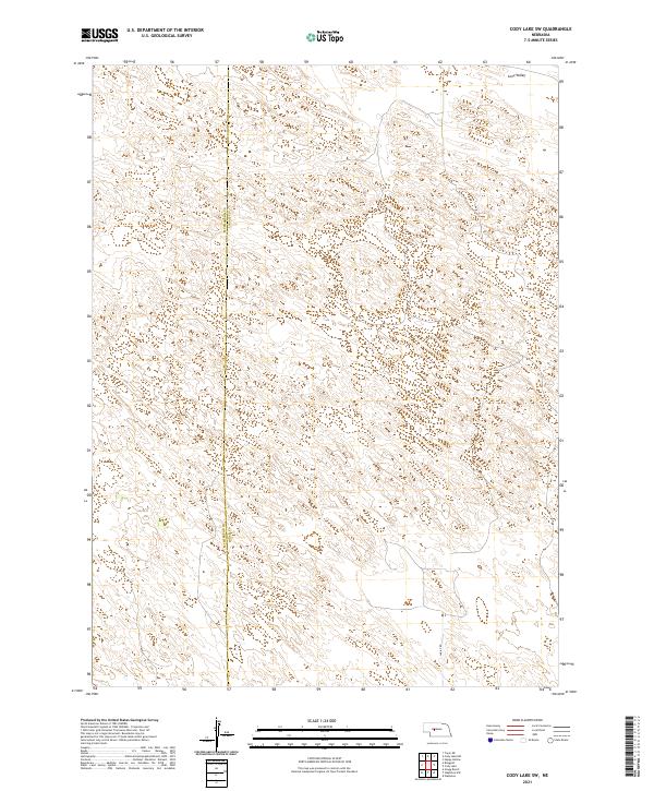
2021 Cody Lake SW
Logan County, NE
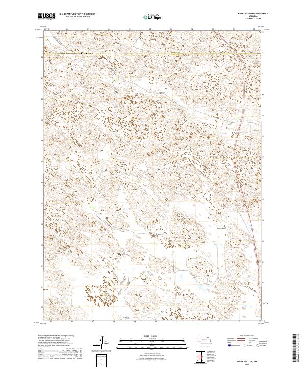
2021 Happy Hollow
Logan County, NE
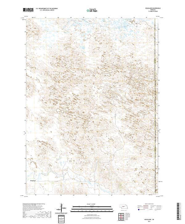
2021 Hoagland
Logan County, NE
2021 Hoagland NE
Logan County, NE
2021 Logan
Logan County, NE
2021 Mudd Lake
Logan County, NE
2021 Stapleton NW
Logan County, NE
2021 Tarbox Lake
Logan County, NE