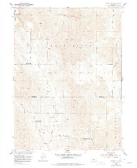
1951 Map of Oconto SE
USGS Topo · Published 1978About this map
The Wood River drainage basin in southern Custer County reveals a landscape of dispersed rural education and religious life as it appeared in the mid-20th century. This area, surveyed as part of the Department of the Interior program for the development of the Missouri River Basin, is defined by its numerous schoolhouses, reflecting the decentralized social structure of the era. Many of these institutions, such as School No 61 and School No 94, are noted as abandoned by the time of the field check, signaling a shift in the region's demographic and educational infrastructure. In contrast, the Lutheran Church and accompanying Lutheran School stand as focal points for the community near the banks of Buffalo Creek. The map also captures several other local landmarks including Pleasant Hill School, Lone Eagle School, and Montrose School, providing a detailed view of the rural township system before further consolidation.
Find a feature on this map
16 named features on this map. Tap any name to fly to it.
Don’t see what you’re looking for? This feature index may not catch every label — zoom into the map to look around manually.
Map Details
Editions of this 1951 Oconto SE Map
3 editions found
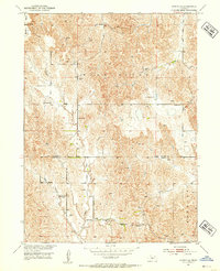
Other maps of this area

1896 · Lexington
USGS Topo · 1:125,000

1899 · Lexington
USGS Topo · 1:125,000

1951 · Oconto SW
USGS Topo · 1:24,000

1951 · Eddyville NW
USGS Topo · 1:24,000

1951 · Oconto SE
USGS Topo · 1:24,000

1951 · Eddyville SW
USGS Topo · 1:24,000

1951 · Oconto NW
USGS Topo · 1:24,000

1951 · Oconto
USGS Topo · 1:24,000

1955 · Broken Bow
USGS Topo · 1:250,000

1955 · Grand Island
USGS Topo · 1:250,000