Old Maps of Cozad, Nebraska
Explore 26 old maps of Cozad, spanning from 1896 to today. These high-resolution historic maps reveal how streets, neighborhoods, landmarks, and natural features evolved over time — perfect for genealogy, metal detecting, research, and local history exploration.
What you can do with these maps:
- See how Cozad changed over time: Compare historical maps to modern-day views to trace roads, homesites, rail lines & more.
- View detailed metadata: Each map includes creators, publishers, year, scale, and archive source.
- Overlay maps with satellite & LiDAR: Visualize the past alongside modern tools to explore terrain & human change.
- Trusted historical sources: Maps sourced from the USGS, Library of Congress, and other archives.
- Access maps your way: View online, download high-res files, or order prints for personal or research use.
Start exploring old maps of Cozad to uncover forgotten places, hidden landmarks, and the deep history beneath your feet.
Cozad, NE maps
(26)- 1896 Map of Lexington
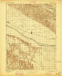 1896 Lexington1896 Print · USGSDawson and Gosper Counties in the mid-1890s are defined by the convergence of the Platte River and competing railroad lines. Genealogists can trace family settlements along the Union Pacific R. R. and the Burlington and Missouri River R. R., locating early sites like Elwood and Coyote.
 - 1899 Map of Lexington
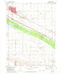
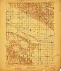 1899 Lexington1899 Print · USGSDawson and Gosper counties are captured during a period of rapid prairie development following the arrival of the transcontinental rails. Genealogists can trace the early grids of rail towns like Lexington and Bertrand or the spans of the Lexington Bridge.7 unique versions available
 - 1902 Map of Gothenburg
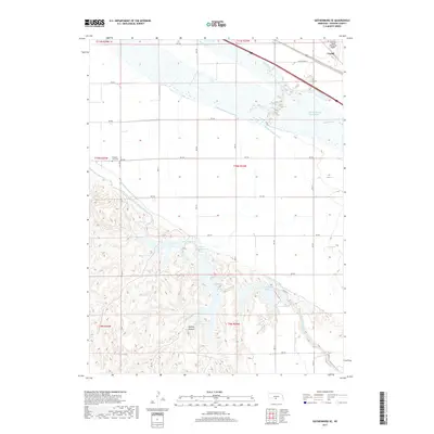
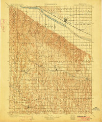 1902 Gothenburg1902 Print · USGSThe Platte River valley in the early twentieth century was a landscape defined by new railroads and irrigation. Genealogists and historians can trace the early rail stops at Gothenburg and Cozad or locate remote frontier outposts like Stockville and Moorefield.3 unique versions available
 - 1954 Map of McCook, 1966 Print
 1954 McCook1966 Print · USGSSouthwest Nebraska in the mid-fifties reveals a landscape shaped by major water projects and the Chicago Burlington and Quincy RR. Trace ancestral roots and defunct rail stops in McCook, Wauneta, and along the shores of Swanson Lake.2 unique versions available
 - 1955 Map of Grand Island, 1967 Print
 1955 Grand Island1967 Print · USGSCentral Nebraska is seen here during a period of industrial and agricultural growth, centered on the vital Platte River corridor. Researchers can trace the mid-century footprints of the U S Naval Ammunition Depot and the Cornhusker Ordnance Plant.3 unique versions available
 - 1957 Map of McCook
 1957 McCook1957 Print · USGSSouthwestern Nebraska in the mid-fifties is captured here during a period of significant water development and rail-based commerce. Researchers can trace the path of the Chicago Burlington and Quincy through Indianola and Bartley, or locate rural settlements like Chase Village and Ough near the Sand Hills.
 - 1957 Map of Grand Island
 1957 Grand Island1957 Print · USGSCentral Nebraska and Northern Kansas are shown here during a period of massive hydraulic and military expansion in the mid-fifties. Researchers can trace the development of the Harlan County Reservoir and the massive wartime legacy of the Cornhusker Ordnance Plant.
 - 1958 Map of McCook
 1958 McCook1958 Print · USGSSouthwest Nebraska during the late fifties reveals a landscape of massive new reservoirs and established rail hubs like McCook. Genealogists can trace family footprints through rural centers like St Johns Church and the many grain elevators along the Union Pacific RR.2 unique versions available
 - 1958 Map of Grand Island
 1958 Grand Island1958 Print · USGSSouth-central Nebraska thrived as a rail and industrial hub during the late fifties, shaped by the braided Platte River. Genealogists and historians can trace rail lines like the Union Pacific RR through towns such as Kearney or locate the sprawling Cornhusker Ordnance Plant.
 - 1970 Map of Willow Island, 1973 Print
 1970 Willow Island1973 Print · USGSCentral Nebraska's Platte River valley is captured in the early seventies, showing a landscape defined by irrigation and rail. Trace the footprints of rural life at Willow Island, Center Star Sch, and the Willow Island Cem.
 - 1970 Map of Gothenburg SE, 1973 Print
 1970 Gothenburg SE1973 Print · USGSThe Platte River valley in the early seventies shows a landscape defined by intensive irrigation and the Union Pacific railroad. Trace rural landmarks like Decker Sch, Pleasant View Cem, and the recreational camps around Central Midway Lake.
 - 1971 Map of Cozad, 1973 Print
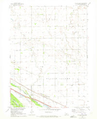
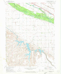
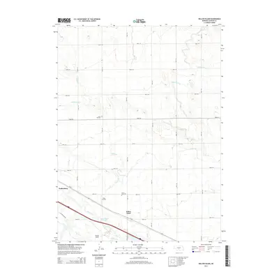
 1971 Cozad1973 Print · USGSCozad and the Platte River valley are captured in the early 1970s, showing a landscape defined by irrigation and historic trails. Researchers can locate numerous numbered rural schools and trace the Emigrant Trail alongside the Cozad Canal.
 - 1979 Map of Gothenburg
 1979 Gothenburg1979 Print · USGSThe Nebraska Loess Hills and the Platte River valley are captured here in the late seventies, showing a landscape defined by irrigation and rail. Researchers can trace the Union Pacific line through Gothenburg, locate family sites near Eustis, or explore the canyon country around Stockville.
 - 1985 Map of Kearney
 1985 Kearney1985 Print · USGSMid-1980s Nebraska life centers on the fertile Platte River valley during a period of significant agricultural and hydraulic development. Researchers can trace irrigation networks like the Phelps County Canal and find regional landmarks from Johnson Lake to the Union Pacific rail lines.2 unique versions available
 - 2011 Map of Cozad, 2011 Print
 2011 Cozad2011 Print · USGSCovers Cozad, including Darr, Horizon Mobile Home Park, and other nearby areas
 - 2011 Map of Willow Island, 2011 Print
 2011 Willow Island2011 Print · USGSCovers Cozad, including Gothenburg, Willow Island, and other nearby areas
 - 2011 Map of Gothenburg SE, 2011 Print
 2011 Gothenburg SE2011 Print · USGSCovers Cozad, including Dawson County, United States, and other nearby areas
 - 2014 Map of Gothenburg SE, 2014 Print
 2014 Gothenburg SE2014 Print · USGSCovers Cozad, including Dawson County, United States, and other nearby areas
 - 2014 Map of Willow Island, 2014 Print
 2014 Willow Island2014 Print · USGSCovers Cozad, including Gothenburg, Willow Island, and other nearby areas
 - 2014 Map of Cozad, 2014 Print
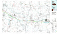
 2014 Cozad2014 Print · USGSCovers Cozad, including Darr, Horizon Mobile Home Park, and other nearby areas
 - 2017 Map of Cozad, 2017 Print
 2017 Cozad2017 Print · USGSCovers Cozad, including Darr, Horizon Mobile Home Park, and other nearby areas
 - 2017 Map of Gothenburg SE, 2017 Print
 2017 Gothenburg SE2017 Print · USGSCovers Cozad, including Dawson County, United States, and other nearby areas
 - 2017 Map of Willow Island, 2017 Print
 2017 Willow Island2017 Print · USGSCovers Cozad, including Gothenburg, Willow Island, and other nearby areas
 - 2021 Map of Cozad, 2021 Print
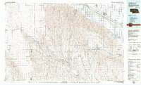
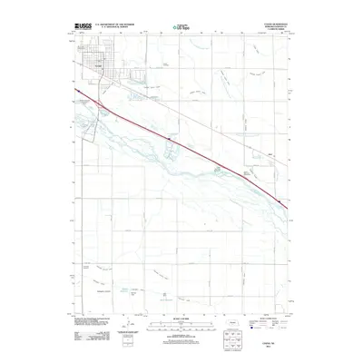
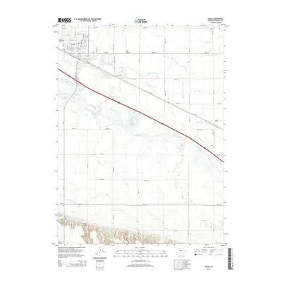
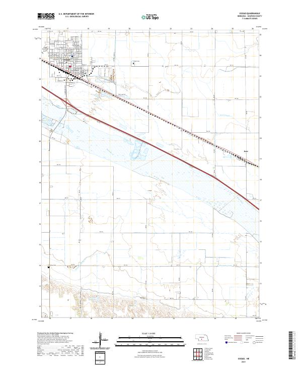 2021 Cozad2021 Print · USGSCozad and the surrounding Dawson County farmland are defined by a complex irrigation network in the early 2020s. Researchers can trace historic water rights and local genealogy through features like the Thirtymile Canal, Cozad Cem, and the small community of Darr.
 - 2021 Map of Willow Island, 2021 Print
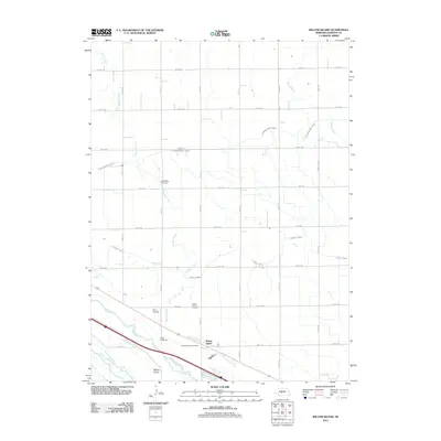
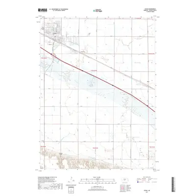
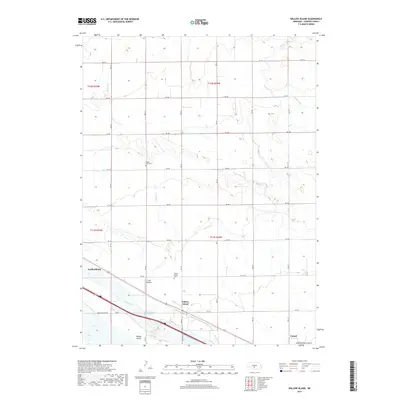
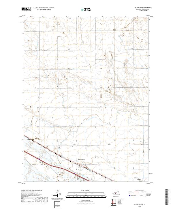 2021 Willow Island2021 Print · USGSDawson County, Nebraska, is seen here during the early 2020s, dominated by the vital waters of the Platte River. Genealogists and local historians can trace rural landmarks like the Willow Island Cem and Grand View Cem alongside irrigation works like the Cozad Canal.
Showing maps 1-25 of 26
Top cities near Cozad
Top neighborhoods of Cozad
Frequently asked questions
- What are the different types of historical maps available for Cozad?
- What is the oldest map of Cozad?
- Where can I purchase historical maps of Cozad for my home or office?
- Where can I download high-res historical maps of Cozad?
- Are there historical topographic maps available for Cozad?
- Is there historical aerial imagery available for Cozad?
- Where are historical maps of Cozad sourced from?