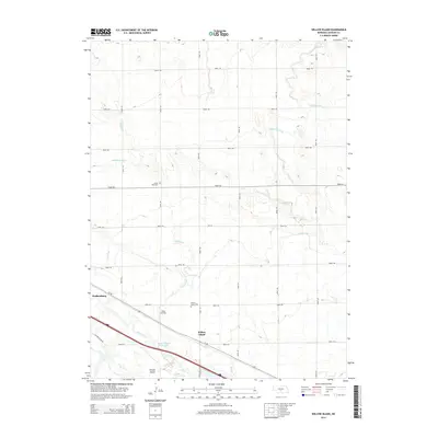
2014 Map of Willow Island
USGS Topo · Published 2014About this map
The Platte River and its intricate network of braided channels and irrigation infrastructure define this Dawson County landscape. The North Channel Platte River flows alongside the community of Willow Island, while the city of Gothenburg occupies the western edge of the quadrangle. This area illustrates the critical role of water management in Nebraska's agricultural history, evidenced by the large-scale Gothenburg Canal and Cozad Canal that parallel the river system. Local history is anchored by sites like the Willow Island Cem and Grand View Cem, providing specific points of interest for genealogists. The map also captures modern utility and transport markers, from the Fiese Airstrip to the vital corridor of Us-30, showing how infrastructure follows the natural path of the river valley.
Find a feature on this map
29 named features on this map. Tap any name to fly to it.
Don’t see what you’re looking for? This feature index may not catch every label — zoom into the map to look around manually.
Map Details
Editions of this 2014 Willow Island Map
This is the sole edition of this map. No revisions or reprints were ever made.
Other maps of this area

1896 · Lexington
USGS Topo · 1:125,000

1899 · Lexington
USGS Topo · 1:125,000

1902 · Gothenburg
USGS Topo · 1:125,000

1951 · Oconto SW
USGS Topo · 1:24,000

1954 · McCook
USGS Topo · 1:250,000

1954 · North Platte
USGS Topo · 1:250,000

1955 · Broken Bow
USGS Topo · 1:250,000

1955 · Grand Island
USGS Topo · 1:250,000

1956 · Broken Bow
USGS Topo · 1:250,000

1956 · North Platte
USGS Topo · 1:250,000