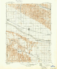
1899 Map of Lexington
USGS Topo · Published 1949About this map
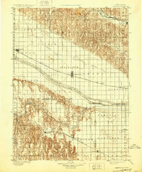
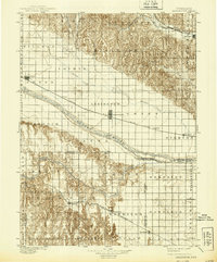
The Platte River valley serves as the central artery for this late-19th-century Nebraska landscape, where the Union Pacific R. R. (Main Line) dictates the placement of thriving towns like Lexington, Overton, and Cozad. This survey, conducted by W.J. Peters and G.T. Hawkins, documents a period of significant agricultural and rail expansion. To the south, the Burlington and Missouri River R. R. (Cheyenne Line) supports settlements such as Elwood and Smithfield, illustrating how competing rail corridors shaped the development of Dawson County and Gosper County. The map reveals a transition from the river-bottom lowlands to the dissected drainage of Plum Creek and Wood River (Kearney Branch), with early infrastructure like the Lexington Bridge providing vital crossings for the region’s growing commerce.
Find a feature on this map
61 named features on this map. Tap any name to fly to it.
Don’t see what you’re looking for? This feature index may not catch every label — zoom into the map to look around manually.
Map Details
Editions of this 1899 Lexington Map
7 editions found
Other maps of this area

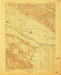
1896 · Lexington
USGS Topo · 1:125,000

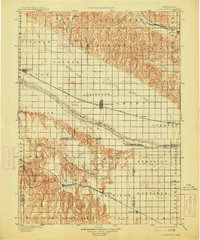
1896 · Holdrege
USGS Topo · 1:125,000

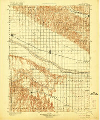
1896 · Kearney
USGS Topo · 1:125,000

1896 · Arapahoe
USGS Topo · 1:125,000

1898 · Arapahoe
USGS Topo · 1:125,000

1899 · Lexington
USGS Topo · 1:125,000

1902 · Gothenburg
USGS Topo · 1:125,000

1951 · Mason City SW
USGS Topo · 1:24,000

1951 · Oconto SW
USGS Topo · 1:24,000

1951 · Oconto SE
USGS Topo · 1:24,000