
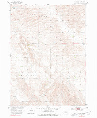
1954 Map of Gables SW
USGS Topo · Published 1955About this map
HO Ranch and a network of rural schoolhouses define this Garfield County landscape during the mid-1950s. The map illustrates a transitional period for the Nebraska Sandhills, showing the distribution of agricultural infrastructure such as numerous windmills and the scattered rural education system. Notable landmarks include School No 19, School No 24, and the School No 11 (Abandoned) site, reflecting the consolidation or shifting populations of the era. The terrain is dominated by the seasonal drainage of Dry Cedar Creek, which flows through the Dry Cedar and Bryan districts. This survey, part of the Missouri River Basin development program, provides a high-resolution view of land use before modern center-pivot irrigation significantly altered the surface patterns of the region.
Find a feature on this map
14 named features on this map. Tap any name to fly to it.
Don’t see what you’re looking for? This feature index may not catch every label — zoom into the map to look around manually.
Map Details
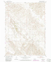
Editions of this 1954 Gables SW Map
3 editions found
Other maps of this area

1952 · Elyria
USGS Topo · 1:24,000

1952 · Burwell SE
USGS Topo · 1:24,000

1952 · Burwell NE
USGS Topo · 1:24,000

1954 · Gables SE
USGS Topo · 1:24,000

1954 · Ord NE
USGS Topo · 1:24,000

1954 · Ord NW
USGS Topo · 1:24,000

1954 · Gables NW
USGS Topo · 1:24,000

1954 · Gables
USGS Topo · 1:24,000

1955 · Broken Bow
USGS Topo · 1:250,000

1956 · Broken Bow
USGS Topo · 1:250,000