
1952 Map of Burwell SE
USGS Topo · Published 1954About this map
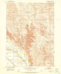
The North Loup River valley defines this agricultural landscape in Nebraska's Garfield County, where the 1952 landscape is marked by a dense network of rural school districts and irrigation infrastructure. The Burwell Sumter Canal runs parallel to the river, supporting the farms that border the Chicago and North Western railroad line. Local life during this era centered on numerous neighborhood hubs like Banner Sch, Rosehill Sch, and Richland Sch, reflecting a time when small schoolhouses were the cornerstone of the prairie community. To the north, the terrain transitions into the dissected uplands of Willow Springs, where names like Jones Canyon and Windy Hill mark the natural breaks in the plains. Genealogists will find interest in the West Side Cem located near West Side Sch, while the presence of the County Fairground near the river indicates the regional importance of this river valley area.
Find a feature on this map
22 named features on this map. Tap any name to fly to it.
Don’t see what you’re looking for? This feature index may not catch every label — zoom into the map to look around manually.
Map Details
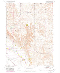
Editions of this 1952 Burwell SE Map
3 editions found
Other maps of this area

1952 · Burwell
USGS Topo · 1:24,000

1952 · Elyria
USGS Topo · 1:24,000

1952 · Burwell NE
USGS Topo · 1:24,000

1952 · Comstock NW
USGS Topo · 1:24,000

1952 · Burwell NW
USGS Topo · 1:24,000

1954 · Gables SW
USGS Topo · 1:24,000

1954 · Ord NW
USGS Topo · 1:24,000

1954 · Gables NW
USGS Topo · 1:24,000

1955 · Broken Bow
USGS Topo · 1:250,000

1956 · Broken Bow
USGS Topo · 1:250,000