
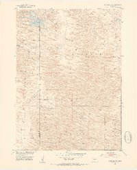
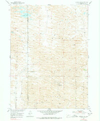
1952 Map of Burwell NW
USGS Topo · Published 1954About this map
Nichol Lake and Bald Lake punctuate the undulating Sandhills terrain of Garfield and Loup Counties in the early 1950s. This land, characterized by townships like Kinkaid, Rockford, and Willow Springs, shows the sparse ranching economy of the era. The presence of Garska Ranch and scattered Windmill sites illustrates the critical importance of water management in this cattle-country landscape.
Find a feature on this map
12 named features on this map. Tap any name to fly to it.
Don’t see what you’re looking for? This feature index may not catch every label — zoom into the map to look around manually.
Map Details
Editions of this 1952 Burwell NW Map
3 editions found
Other maps of this area

1952 · Burwell
USGS Topo · 1:24,000

1952 · Burwell SE
USGS Topo · 1:24,000

1952 · Burwell NE
USGS Topo · 1:24,000

1952 · Taylor SE
USGS Topo · 1:24,000

1952 · Taylor NE
USGS Topo · 1:24,000

1955 · Broken Bow
USGS Topo · 1:250,000

1955 · O'Neill
USGS Topo · 1:250,000

1956 · Broken Bow
USGS Topo · 1:250,000

1959 · O'Neill
USGS Topo · 1:250,000

1969 · O'Neill
USGS Topo · 1:250,000