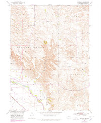
1952 Map of Burwell SE
USGS Topo · Published 1978About this map
The North Loup River valley dominates this landscape, providing the lifeblood for Garfield County’s agricultural economy. This 1952 topographic survey reveals a sophisticated irrigation network centered on the Burwell-Sumter Canal, which follows the river's northern bench. This water management allowed for intensive land use in an area otherwise defined by the high, dry ridges of Windy Hill and the drainage of Jones Canyon.
Find a feature on this map
19 named features on this map. Tap any name to fly to it.
Don’t see what you’re looking for? This feature index may not catch every label — zoom into the map to look around manually.
Map Details
Editions of this 1952 Burwell SE Map
3 editions found
Other maps of this area

1952 · Burwell
USGS Topo · 1:24,000

1952 · Elyria
USGS Topo · 1:24,000

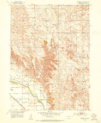
1952 · Burwell SE
USGS Topo · 1:24,000

1952 · Burwell NE
USGS Topo · 1:24,000

1952 · Comstock NW
USGS Topo · 1:24,000

1952 · Burwell NW
USGS Topo · 1:24,000

1954 · Gables SW
USGS Topo · 1:24,000

1954 · Ord NW
USGS Topo · 1:24,000

1954 · Gables NW
USGS Topo · 1:24,000

1955 · Broken Bow
USGS Topo · 1:250,000