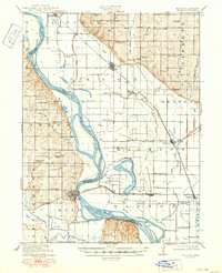
1920 Map of Craig
USGS Topo · Published 1950About this map
Missouri River meanders define the complex boundary between Missouri and Nebraska, where the river's shifting course creates intricate oxbows and floodplain wetlands. The Chicago Burlington and Quincy railroad acts as a primary artery for trade, connecting river towns like Craig and Bigelow to the wider region. The landscape is dotted with a dense network of country schools, such as Brush College School, Lonesome School, and Star School, reflecting the agrarian community's investment in local education during the early twentieth century.
Find a feature on this map
59 named features on this map. Tap any name to fly to it.
Don’t see what you’re looking for? This feature index may not catch every label — zoom into the map to look around manually.
Map Details
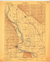
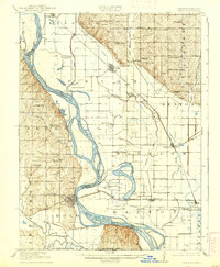
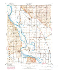
Editions of this 1920 Craig Map
5 editions found
Other maps of this area

1885 · Atchison
USGS Topo · 1:125,000

1888 · Atchison
USGS Topo · 1:125,000

1888 · Hiawatha
USGS Topo · 1:125,000

1893 · Atchison
USGS Topo · 1:125,000

1894 · Hiawatha
USGS Topo · 1:125,000

1915 · Falls City
USGS Topo · 1:62,500

1915 · Nemaha
USGS Topo · 1:62,500

1920 · Craig
USGS Topo · 1:62,500

1926 · Oregon
USGS Topo · 1:62,500

1926 · Maitland
USGS Topo · 1:62,500