
Historical Maps of Brown County, Nebraska
What stories do these 67 old maps tell about Brown County's past? From 1949 to present day, these maps reveal the evolution of streets, neighborhoods, iconic landmarks, and natural features in stunning high-res detail. Whether you're a history enthusiast, genealogist, or professional in education, environmental work, or architecture, these maps are perfect for exploration, research, and discovery.
Discover Brown County's history through maps:
- Trace Brown County's growth: Explore earlier and latest maps and editions to uncover how the region changed over time.
- Examine technical details: Each map includes its creators, publishers, scale, dimensions, and full source information.
- Layer maps with modern tools & imagery: Compare historical maps to modern-day with high-resolution satellite imagery and detailed LiDAR layers.
- Sourced from trusted archives: Carefully preserved and digitized by institutions like the United Stated Geological Survey and the US Library of Congress.
- Access in any format: View and explore in high resolution, download for offline use, or order a museum-quality print for yourself or a loved one.
Begin your journey into Brown County's history with these remarkable must-see maps.
Brown County, NE maps
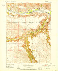
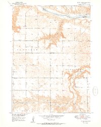
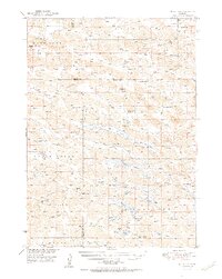
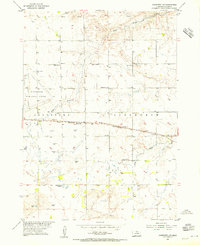
(67)- 1949 Map of Dutch Creek, 1976 Print
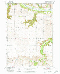 1949 Dutch Creek1976 Print · USGSCovers Brown County, including Keya Paha County, United States, and other nearby areas
 - 1949 Map of Koshopah, 1976 Print
 1949 Koshopah1976 Print · USGSCovers Brown County, including Koshopah, Elsmere, and other nearby areas
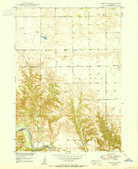
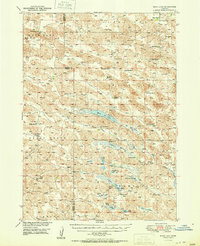
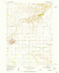
 - 1950 Map of Bassett NW
 1950 Bassett NW1950 Print · USGSCovers Brown County, including Keya Paha County, Rock County, and other nearby areas
 - 1950 Map of Meadville
 1950 Meadville1950 Print · USGSCovers Brown County, including Springview, Meadville, and other nearby areas
 - 1950 Map of Huddle Table
 1950 Huddle Table1950 Print · USGSCovers Brown County, including Keya Paha County, United States, and other nearby areas
 - 1950 Map of Norden
 1950 Norden1950 Print · USGSCovers Brown County, including Okreek Segment, Norden, and other nearby areas
 - 1950 Map of Bassett NW
 1950 Bassett NW1950 Print · USGSCovers Brown County, including Keya Paha County, Rock County, and other nearby areas
 - 1950 Map of Meadville
 1950 Meadville1950 Print · USGSCovers Brown County, including Springview, Meadville, and other nearby areas
 - 1950 Map of Dutch Creek
 1950 Dutch Creek1950 Print · USGSCovers Brown County, including Keya Paha County, United States, and other nearby areas
 - 1950 Map of Huddle Table
 1950 Huddle Table1950 Print · USGSCovers Brown County, including Keya Paha County, United States, and other nearby areas
 - 1950 Map of Dutch Creek
 1950 Dutch Creek1950 Print · USGSCovers Brown County, including Keya Paha County, United States, and other nearby areas
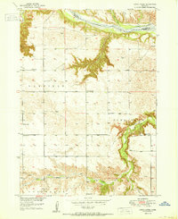
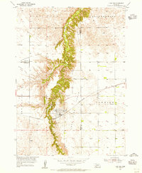
 - 1950 Map of Wood Lake, 1952 Print
 1950 Wood Lake1952 Print · USGSCovers Brown County, including Johnstown, Wood Lake, and other nearby areas
 - 1950 Map of Norden, 1956 Print
 1950 Norden1956 Print · USGSCovers Brown County, including Okreek Segment, Norden, and other nearby areas
 - 1950 Map of Wood Lake, 1978 Print
 1950 Wood Lake1978 Print · USGSCovers Brown County, including Johnstown, Wood Lake, and other nearby areas
 - 1951 Map of Moon Lake
 1951 Moon Lake1951 Print · USGSCovers Brown County, including Cherry County, United States, and other nearby areas
 - 1951 Map of Moon Lake
 1951 Moon Lake1951 Print · USGSCovers Brown County, including Cherry County, United States, and other nearby areas
 - 1951 Map of Koshopah
 1951 Koshopah1951 Print · USGSCovers Brown County, including Koshopah, Elsmere, and other nearby areas
 - 1952 Map of Norden
 1952 Norden1952 Print · USGSCovers Brown County, including Okreek Segment, Norden, and other nearby areas
 - 1954 Map of Ainsworth NW, 1955 Print
 1954 Ainsworth NW1955 Print · USGSCovers Brown County, including United States, Nebraska, and other nearby areas
 - 1954 Map of Ainsworth SW, 1955 Print
 1954 Ainsworth SW1955 Print · USGSCovers Brown County, including Sandridge, United States, and other nearby areas
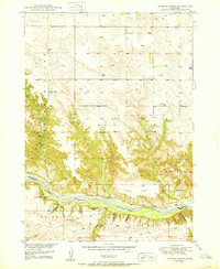
 - 1954 Map of Ainsworth, 1955 Print
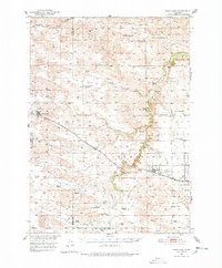
 1954 Ainsworth1955 Print · USGSCovers Brown County, including Ainsworth, United States, and other nearby areas
 - 1954 Map of Long Pine, 1956 Print
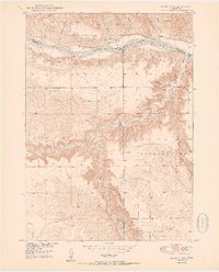
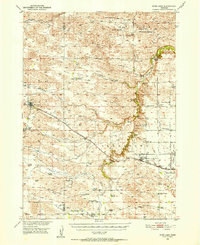
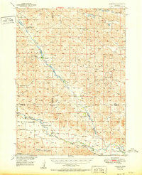
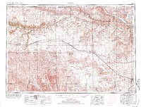
 1954 Long Pine1956 Print · USGSCovers Brown County, including Long Pine, Rock County, and other nearby areas
 - 1955 Map of O'Neill, 1974 Print
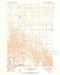
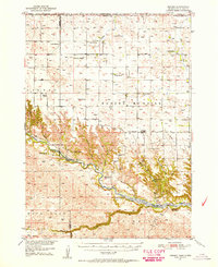
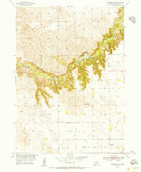
 1955 O'Neill1974 Print · USGSCovers Brown County, including O'Neill, Ainsworth, and other nearby areas
 - 1955 Map of O'Neill, 1974 Print
 1955 O'Neill1974 Print · USGSCovers Brown County, including O'Neill, Ainsworth, and other nearby areas
 - 1957 Map of Valentine, 1960 Print
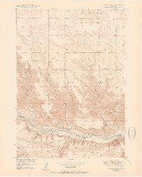
 1957 Valentine1960 Print · USGSCovers Brown County, including Valentine, Martin, and other nearby areas
Showing maps 1-25 of 67
Top cities in Brown County
Frequently asked questions
- What are the different types of historical maps available for Brown County?
- What is the oldest map of Brown County?
- Where can I purchase historical maps of Brown County for my home or office?
- Where can I download high-res historical maps of Brown County?
- Are there historical topographic maps available for Brown County?
- Is there historical aerial imagery available for Brown County?
- Where are historical maps of Brown County sourced from?