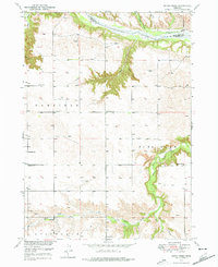
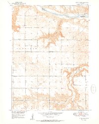
1949 Map of Dutch Creek
USGS Topo · Published 1976About this map
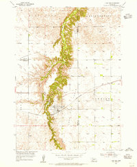
The Niobrara River carves a significant path across this Brown County landscape, creating a dramatic break in the terrain between the Keya Paha county line and the open plains of the south. This 1940s-era survey reveals a community deeply rooted in its rural school districts and local landmarks, including Jones Sch, Park Row Sch, and the numbered School No 35.
Find a feature on this map
20 named features on this map. Tap any name to fly to it.
Don’t see what you’re looking for? This feature index may not catch every label — zoom into the map to look around manually.
Map Details
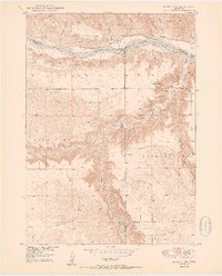
Editions of this 1949 Dutch Creek Map
This is the sole edition of this map. No revisions or reprints were ever made.
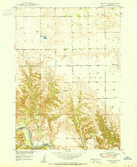
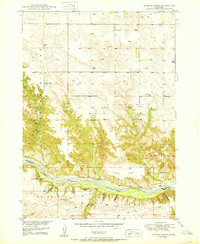
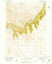
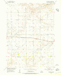
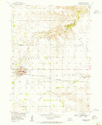
Other maps of this area
1950 · Bassett NW
USGS Topo · 1:24,000
1950 · Meadville
USGS Topo · 1:24,000
1950 · Huddle Table
USGS Topo · 1:24,000
1950 · Dutch Creek
USGS Topo · 1:24,000
1954 · Ainsworth NW
USGS Topo · 1:24,000
1954 · Ainsworth SW
USGS Topo · 1:24,000
1954 · Ainsworth
USGS Topo · 1:24,000
1954 · Long Pine
USGS Topo · 1:24,000

1955 · O'Neill
USGS Topo · 1:250,000

1959 · O'Neill
USGS Topo · 1:250,000